


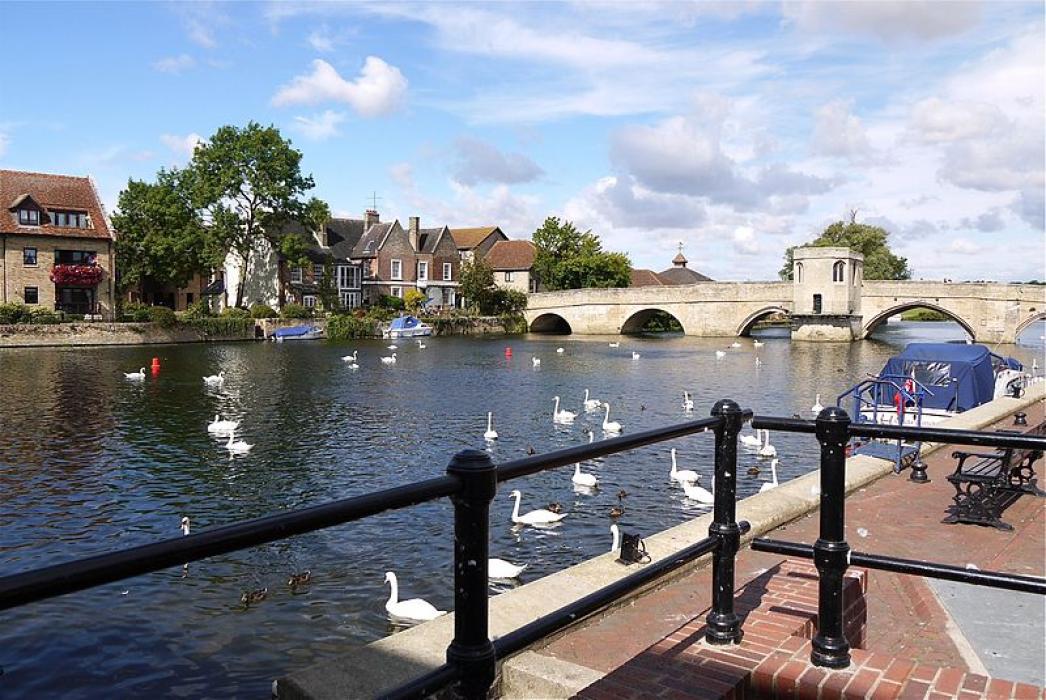


Map and nearest places
| Longitude | Latitude |
|---|---|
| 52.334362 | -0.076147 |
| 52°20'0"N | 0°4'0"W |
| Nearest places | ||
|---|---|---|
 | Huntingdon | 7.5km |
| St Neots | 17.1km | |
| Cambridge | 19.5km | |
| Cambridge Airport | 22.3km | |
| Ely | 23.8km | |
| Sandy | 27.2km | |
 | Peterborough | 29.0km |
| London Luton Airport | 54.9km | |
| London Stansted Airport | 55.2km | |
| London City Airport | 92.7km | |
| Nottingham Airport | 93.9km | |
| Coventry Airport | 95.4km | |
| John Paul II International Airport | 1,401.5km | |
| Tuuta Airport | 19,030.1km | |
Accomodation
Restaurants
Weblinks
Comments
You need to log in to add comment