


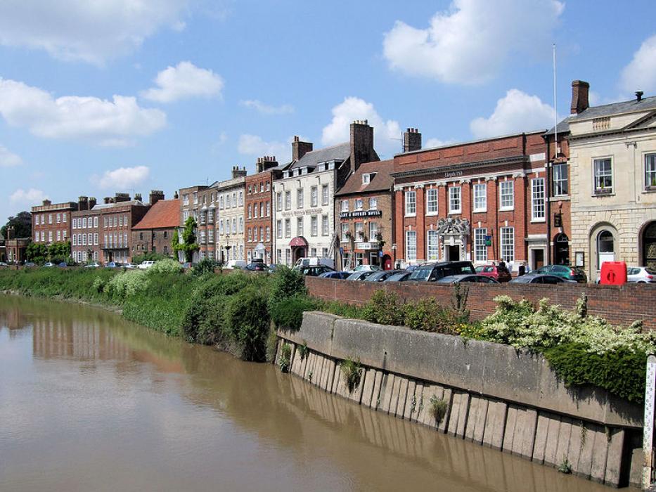


Map and nearest places
| Longitude | Latitude |
|---|---|
| 52.66622 | 0.15938 |
| 52°39'0"N | 0°9'0"E |
| Nearest places | ||
|---|---|---|
| Downham Market | 17.2km | |
| Kings Lymn | 18.8km | |
| Spalding | 24.9km | |
 | Peterborough | 29.3km |
| Ely | 30.5km | |
| Swaffham | 35.4km | |
| Cambridge Airport | 51.3km | |
| Norwich International Airport | 75.8km | |
| London Stansted Airport | 87.2km | |
| Nottingham Airport | 87.9km | |
| London Luton Airport | 95.1km | |
| East Midlands Airport | 101.8km | |
| John Paul II International Airport | 1,387.7km | |
| Tuuta Airport | 18,999.2km | |
Accomodation
Restaurants
Breweries
Weblinks
Comments
You need to log in to add comment