


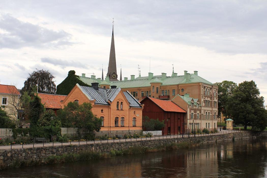
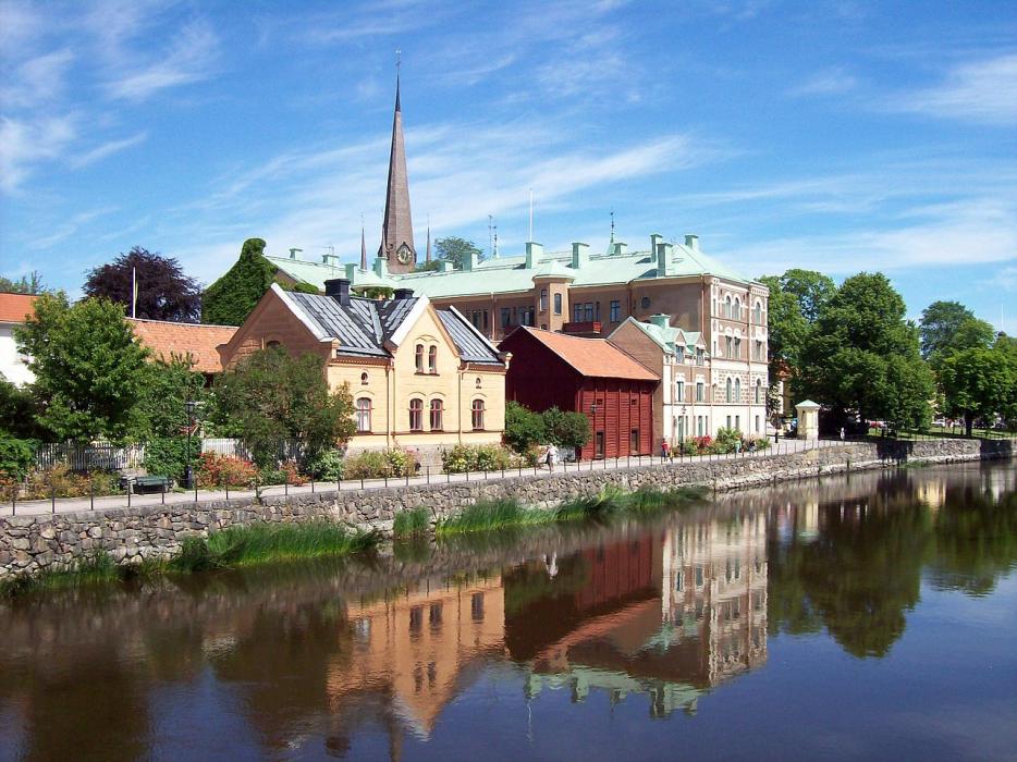
Gallery


Map and nearest places
| Longitude | Latitude |
|---|---|
| 59.393889 | 15.838611 |
| 59°23'0"N | 15°50'0"E |
| Nearest places | ||
|---|---|---|
| Kungs�r | 14.1km | |
| Koping | 15.9km | |
| Hallstahammar | 33.9km | |
 | Torsh�lla | 35.6km |
 | Orebro | 38.0km |
 | Esklistuna | 38.5km |
| Orebro Airport | 49.2km | |
| Esklituna Airport | 49.5km | |
| Stockholm-Vasteras Airport | 49.9km | |
| Karlskoga Airport | 76.3km | |
| Stockholm-Skavsta Airport | 91.0km | |
| Norrkoping Airport | 92.6km | |
| John Paul II International Airport | 1,066.0km | |
| Tuuta Airport | 18,092.5km | |
Accomodation
Restaurants
Museums
Golfs club
Weblinks
Comments
You need to log in to add comment