


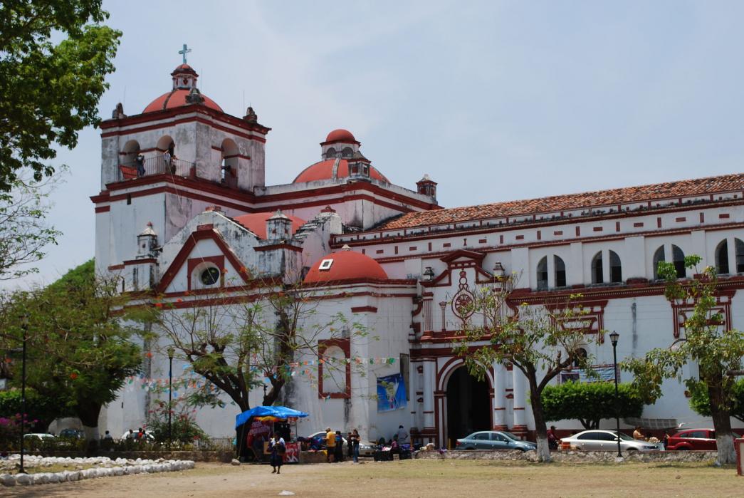
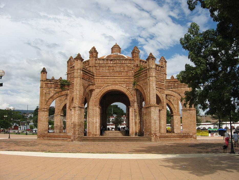
Gallery


Map and nearest places
| Longitude | Latitude |
|---|---|
| 16.706944 | -93.013889 |
| 16°42'0"N | 93°0'0"W |
| Nearest places | ||
|---|---|---|
 | Tuxtla Gutierrez | 12.1km |
| Francisco Sarabia National Airport | 16.2km | |
| San Crist�bal de las Casas | 40.1km | |
| San Crist�bal de las Casas Airport | 51.6km | |
| Palenque | 141.3km | |
 | Villahermosa | 142.9km |
| Palenque International Airport | 142.9km | |
| Carlos Rovirosa Perez International Airport | 144.7km | |
| San Marcos La Laguna | 195.9km | |
| Minatitlan | 216.2km | |
| Tapachula International Airport | 223.5km | |
| Minatitlan/Coatzacoalcos National Airport | 227.5km | |
| John Paul II International Airport | 10,120.3km | |
| Cocos Islands Airport | 18,842.0km | |
Accomodation

Weblinks
Comments
You need to log in to add comment