


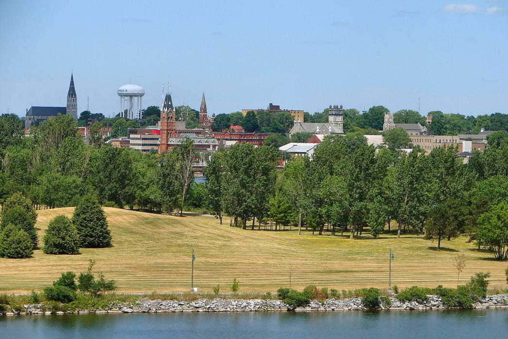
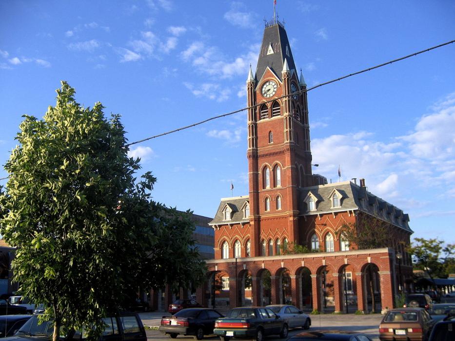
Gallery


Map and nearest places
| Longitude | Latitude |
|---|---|
| 44.166667 | -77.383333 |
| 44°10'0"N | 77°22'0"W |
| Nearest places | ||
|---|---|---|
| Belleville Airport | 6.5km | |
| Bloomfield | 21.4km | |
| Wellington | 24.0km | |
| Picton | 27.2km | |
| Napanee | 35.6km | |
| Kingston/Norman Rogers Airport | 63.0km | |
| Kingston | 70.8km | |
 | Peterborough | 75.8km |
| Peterborough Airport | 78.4km | |
| Gananoque Airport | 94.4km | |
| Williamson-Sodus Airport | 105.8km | |
| Watertown International Airport | 110.5km | |
| John Paul II International Airport | 6,840.3km | |
| Busselton Regional Airport | 18,413.2km | |
Restaurants
Golfs club
Airports
Weblinks
Comments
You need to log in to add comment