


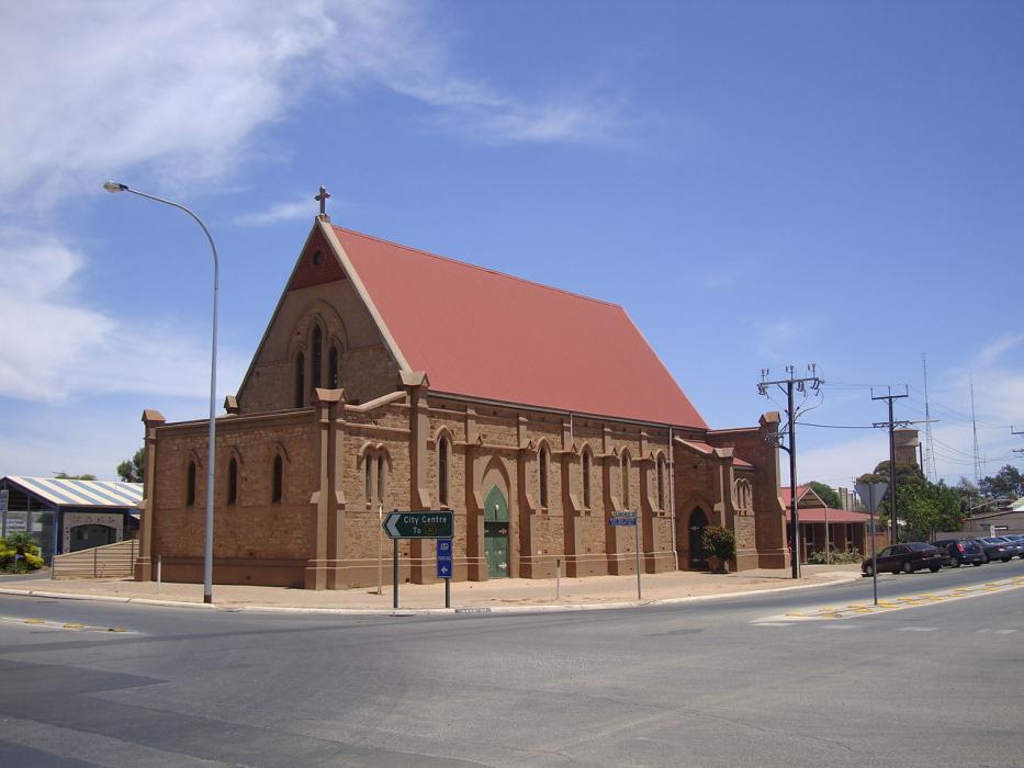
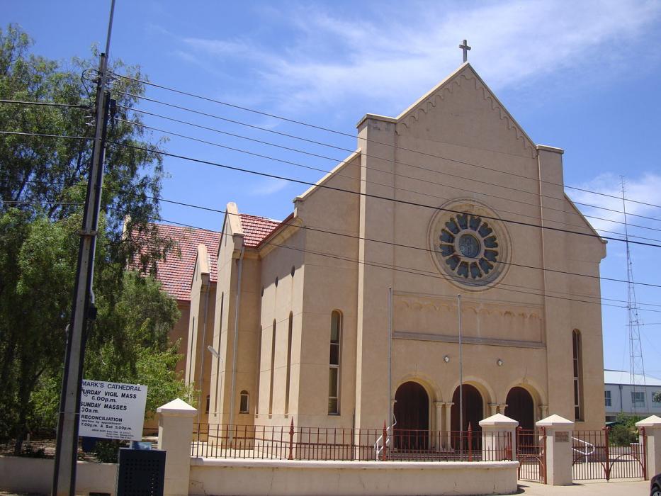
Gallery


Map and nearest places
| Longitude | Latitude |
|---|---|
| -33.185833 | 138.016944 |
| 33°11'0"S | 138°1'0"E |
| Nearest places | ||
|---|---|---|
| Whyalla | 45.2km | |
| Whyalla Airport | 48.9km | |
| Port Augusta Airport | 80.5km | |
| Port Augusta | 81.5km | |
| Clare | 91.1km | |
| Burra | 100.5km | |
| Moonta | 105.7km | |
| Kimba | 148.8km | |
| Parafield Airport | 187.6km | |
| Adelaide Airport | 201.2km | |
| Port Lincoln Airport | 250.2km | |
| Kingscote Airport | 284.8km | |
| John Paul II International Airport | 14,718.2km | |
| Flores Airport | 18,820.2km | |
Accomodation

Restaurants
Weblinks
Comments
You need to log in to add comment