


_52798454_700.jpg)
_231020013_700.jpg)


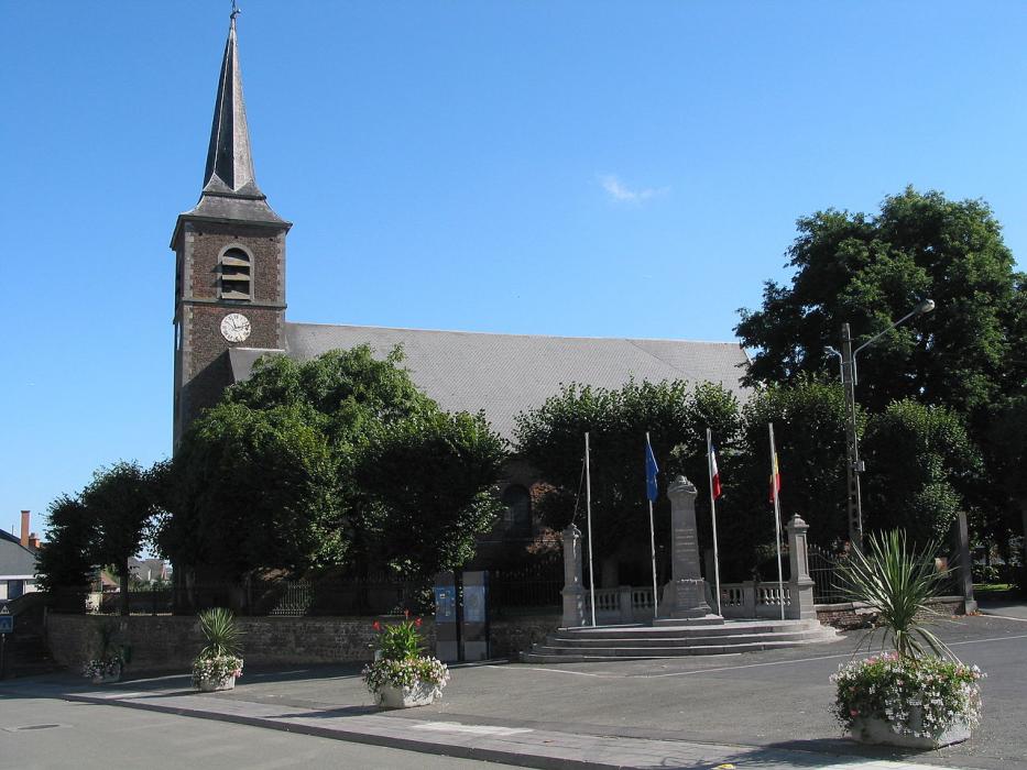
Map and nearest places
| Longitude | Latitude |
|---|---|
| 50.6 | 3.85 |
| 50°36'0"N | 3°51'0"E |
| Nearest places | ||
|---|---|---|
 | Ath | 6.2km |
| Belœil | 12.0km | |
 | Lessines | 13.0km |
 | Mons | 18.1km |
 | Geraardsbergen | 18.6km |
.svg_164429614_16.png) | Boussu | 18.9km |
| Aérodrome de Valenciennes - Denain | 41.0km | |
| Brussels South Charleroi Airport | 45.5km | |
| Flanders International Airport | 51.5km | |
| Lille Lesquin International Airport | 53.9km | |
| Brussels International Airport | 56.3km | |
| Antwerp International Airport | 78.3km | |
| John Paul II International Airport | 1,130.2km | |
| Tuuta Airport | 19,259.7km | |
Weblinks
Comments
You need to log in to add comment