


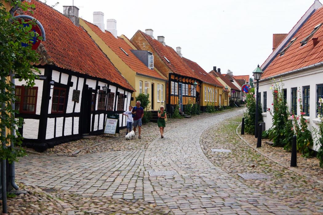
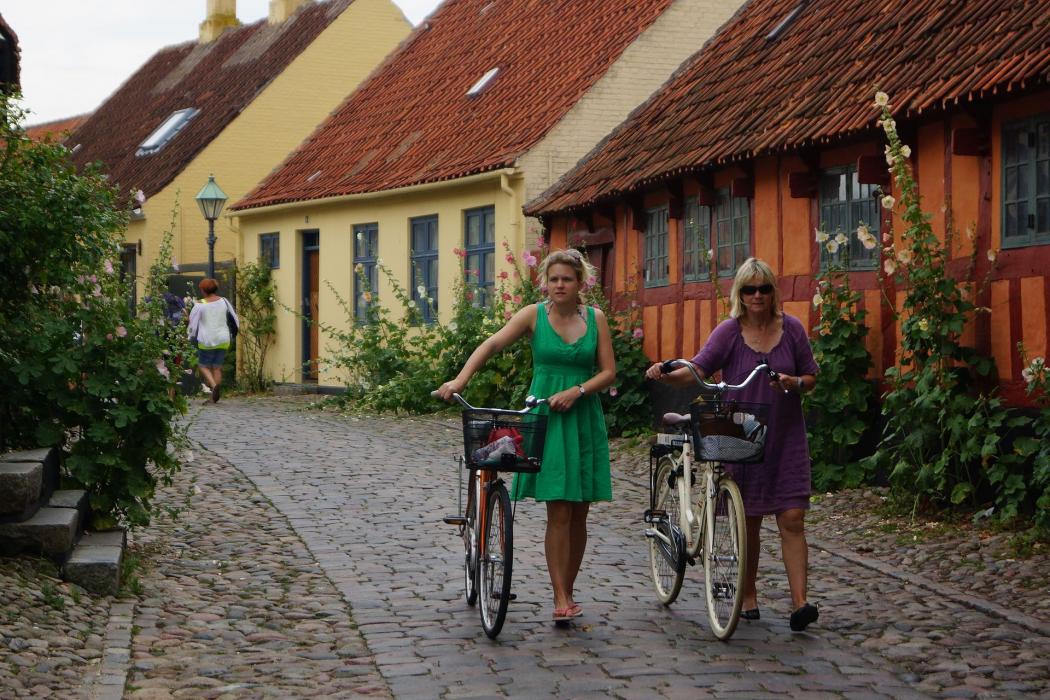
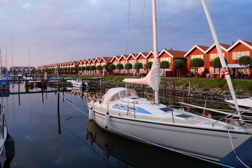
Gallery


Map and nearest places
| Longitude | Latitude |
|---|---|
| 56.193611 | 10.678056 |
| 56°11'0"N | 10°40'0"E |
| Nearest places | ||
|---|---|---|
| Aarhus Airport | 12.4km | |
| Grenå | 23.0km | |
 | Aarhus | 28.5km |
 | Randers | 49.2km |
 | Skanderborg | 49.6km |
| Hammel | 51.6km | |
| Randers Airport | 52.7km | |
 | Horsens | 63.8km |
| Viborg Airport | 81.9km | |
| Odense Airport | 82.6km | |
| Karup Airport | 96.7km | |
| Skive Airport | 100.8km | |
| John Paul II International Airport | 910.4km | |
| Tuuta Airport | 18,548.6km | |
Accomodation
Restaurants
Museums

Weblinks
Comments
You need to log in to add comment