


_1708592768_700.jpg)


Map and nearest places
| Longitude | Latitude |
|---|---|
| 51.25 | 3.283333 |
| 51°15'0"N | 3°16'0"E |
| Nearest places | ||
|---|---|---|
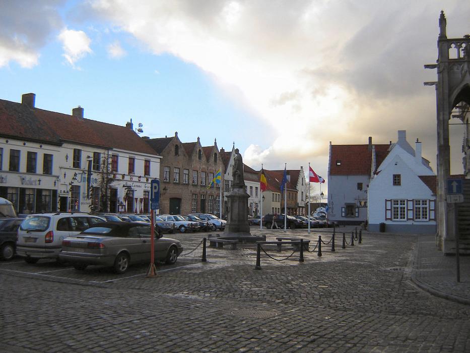
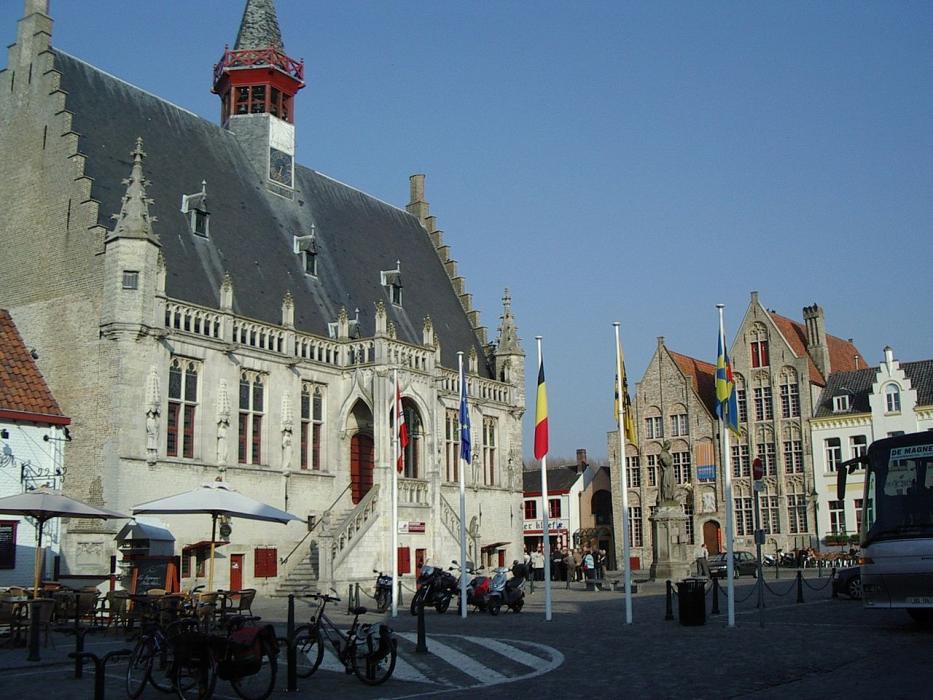
 | Damme | 0.0km |
 | Brugge | 5.1km |
 | Knokke | 9.3km |
 | Maldegem | 11.8km |
 | Blankenberge | 12.9km |
 | De Hann | 17.5km |
| Ostend-Bruges International Airport | 29.8km | |
| Flanders International Airport | 48.4km | |
| Lille Lesquin International Airport | 77.7km | |
| Antwerp International Airport | 82.2km | |
| Merville Airport | 83.6km | |
| Brussels International Airport | 92.2km | |
| John Paul II International Airport | 1,167.8km | |
| Tuuta Airport | 19,187.6km | |
Accomodation
Restaurants
Weblinks
Comments
You need to log in to add comment