


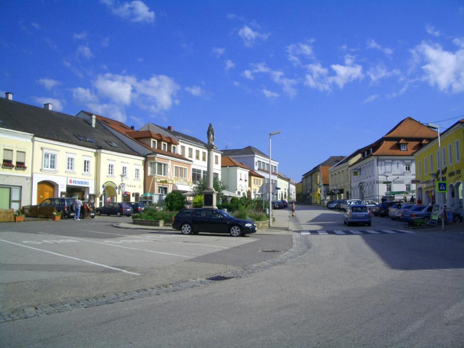


Map and nearest places
| Longitude | Latitude |
|---|---|
| 48.355556 | 14.530556 |
| 48°21'0"N | 14°31'0"E |
| Nearest places | ||
|---|---|---|
 | Perg | 14.0km |
 | Enns | 16.0km |
 | Freistadt | 17.5km |
 | Linz | 18.7km |
| Leonding | 23.0km | |
 | Grein | 27.6km |
| Blue Danube Airport | 28.8km | |
| Wels Airport | 41.0km | |
| Krems Airport | 82.2km | |
| Dobersberg Airport | 84.5km | |
| W. A. Mozart Airport | 129.5km | |
| Bad Voeslau | 135.4km | |
| John Paul II International Airport | 426.8km | |
| Tuuta Airport | 19,029.7km | |
Weblinks
Comments
You need to log in to add comment