


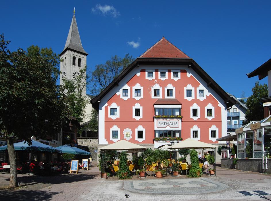


Map and nearest places
| Longitude | Latitude |
|---|---|
| 47.426944 | 12.848333 |
| 47°25'0"N | 12°50'0"E |
| Nearest places | ||
|---|---|---|
 | Maria Alm | 6.2km |
 | Leogang | 7.5km |
 | Maishofen | 9.3km |
 | Zell am See | 12.8km |
| Zell am See Airport | 15.5km | |
 | Saalbach | 16.4km |
 | Taxenbach | 17.4km |
| W. A. Mozart Airport | 42.4km | |
| Lienz-Nikolsdorf Airport | 69.9km | |
| Cortina d'Ampezzo Airport | 110.0km | |
| Innsbruck Kranebitten Airport | 114.9km | |
| Wels Airport | 122.5km | |
| John Paul II International Airport | 587.4km | |
| Tuuta Airport | 19,187.9km | |
Accomodation

Weblinks
Comments
You need to log in to add comment