


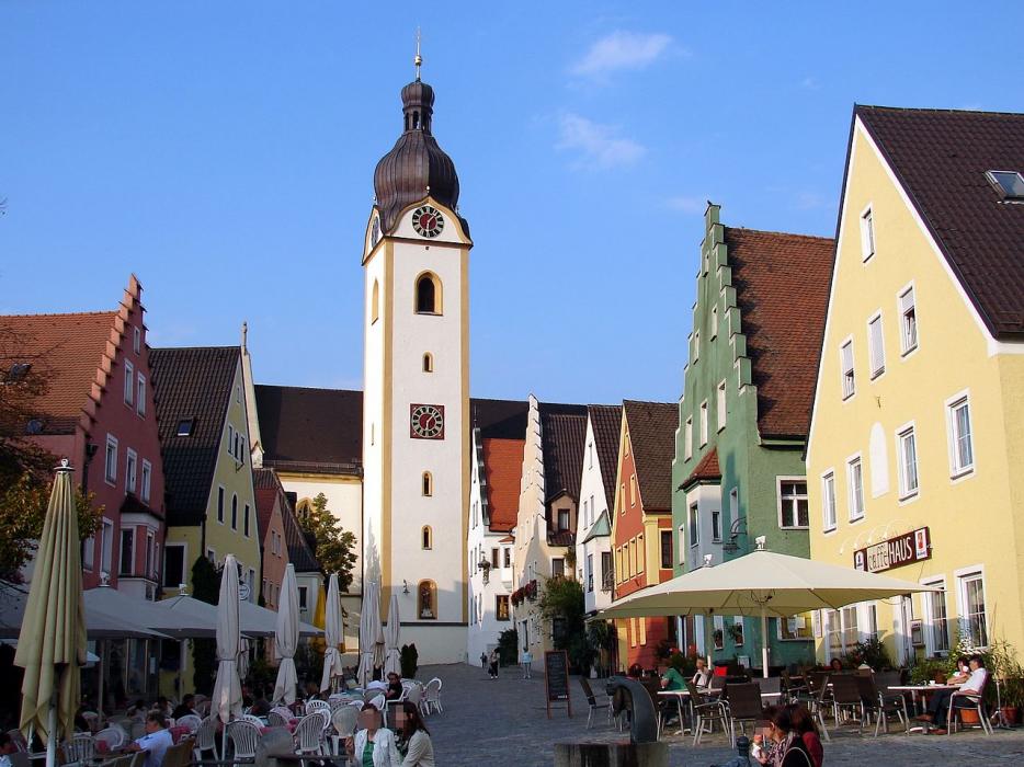
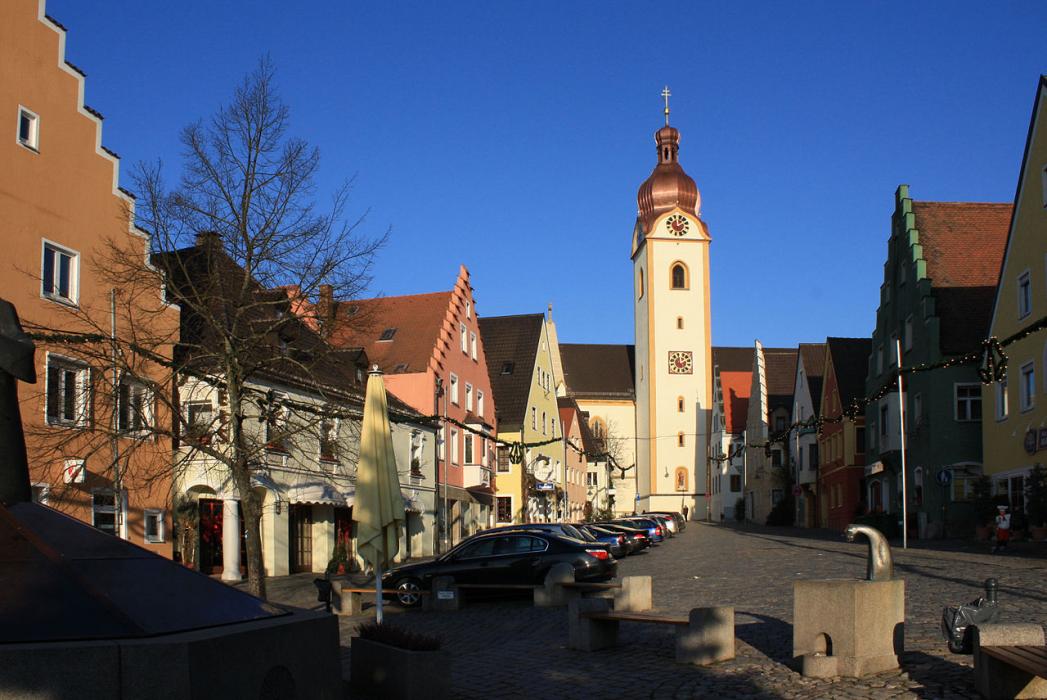


Map and nearest places
| Longitude | Latitude |
|---|---|
| 49.328333 | 12.11 |
| 49°19'0"N | 12°6'0"E |
| Nearest places | ||
|---|---|---|
 | Amberg | 22.9km |
 | Wernberg-Köblitz | 23.0km |
 | Hirschau | 25.6km |
 | Rotz | 30.8km |
 | Sulzbach-Rosenberg | 31.6km |
 | Roding | 32.8km |
| Nuremberg Airport | 77.0km | |
| Ingolstadt Airport | 80.0km | |
| Bayreuth Airport | 80.4km | |
| Landshut Airport | 90.9km | |
| Hof-Plauen Airport | 108.4km | |
| Franz Josef Straus International Airport | 110.8km | |
| John Paul II International Airport | 557.9km | |
| Tuuta Airport | 19,118.7km | |
Comments
You need to log in to add comment