


_1845790688_700.jpg)
_915588528_700.jpg)


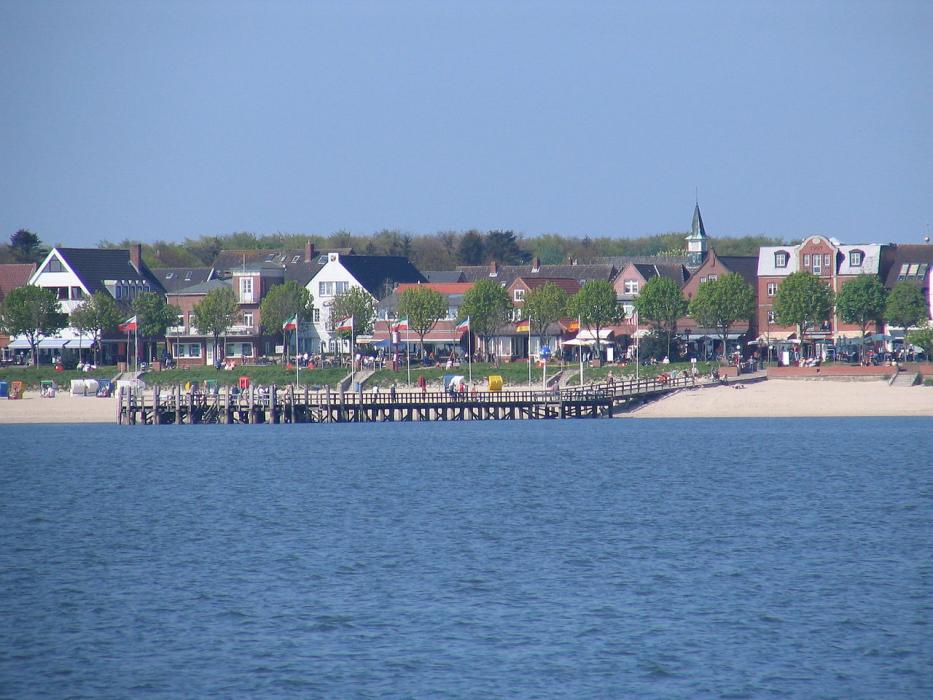
Map and nearest places
| Longitude | Latitude |
|---|---|
| 54.7 | 8.566667 |
| 54°42'0"N | 8°34'0"E |
| Nearest places | ||
|---|---|---|
 | Hooge | 14.5km |
 | Niebüll | 19.5km |
 | Pellworm | 20.9km |
 | Bredstedt | 27.1km |
 | Leck | 27.4km |
| Sylt Airport | 27.8km | |
| Sylt | 28.4km | |
| Tonder Airport | 31.0km | |
| Flensburg-Schäferhaus Airport | 52.6km | |
| Heide-Busum Airport | 64.4km | |
| Helgoland Airport | 71.0km | |
| Skrydstrup AB | 73.5km | |
| John Paul II International Airport | 916.9km | |
| Tuuta Airport | 18,751.3km | |
Accomodation

Restaurants
Museums
Weblinks
Comments
You need to log in to add comment