


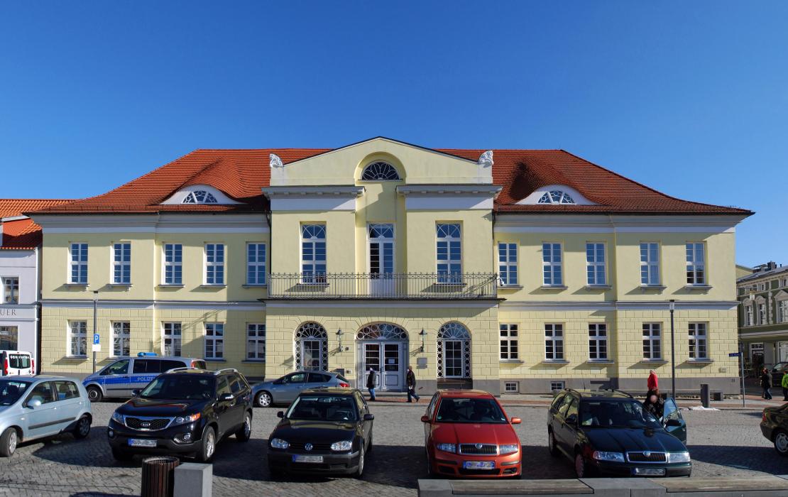
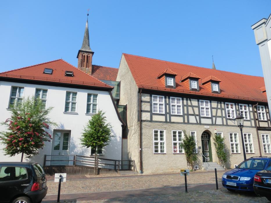
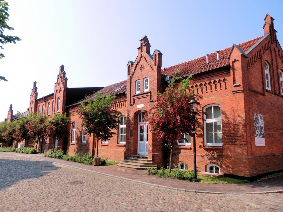
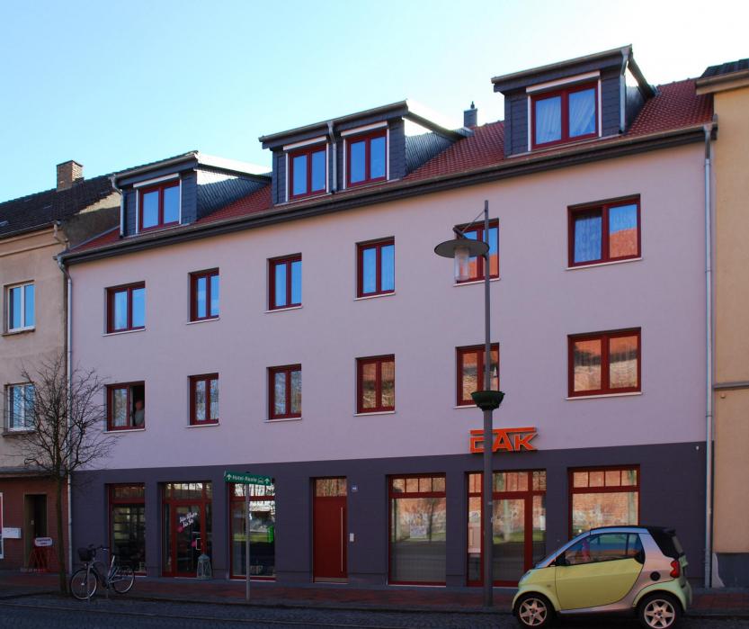
Gallery


Map and nearest places
| Longitude | Latitude |
|---|---|
| 54.25 | 12.466667 |
| 54°15'0"N | 12°28'0"E |
| Nearest places | ||
|---|---|---|
| Dierhagen | 8.3km | |
 | Wustrow | 11.9km |
 | Marlow | 14.5km |
| Ahrenshoop | 14.9km | |
| Stralsund - Barth Airport | 18.0km | |
 | Barth | 20.8km |
 | Zingst | 24.9km |
| Rostock-Laage Airport | 38.9km | |
| Stralsund Airport | 38.9km | |
| Maribo Airport | 83.1km | |
| Neubrandenburg Airport | 90.6km | |
| Anklam Airport | 91.2km | |
| John Paul II International Airport | 680.8km | |
| Tuuta Airport | 18,686.7km | |
General informations
| Area | 122.20 km2 |
Accomodation
Weblinks
Comments
You need to log in to add comment