


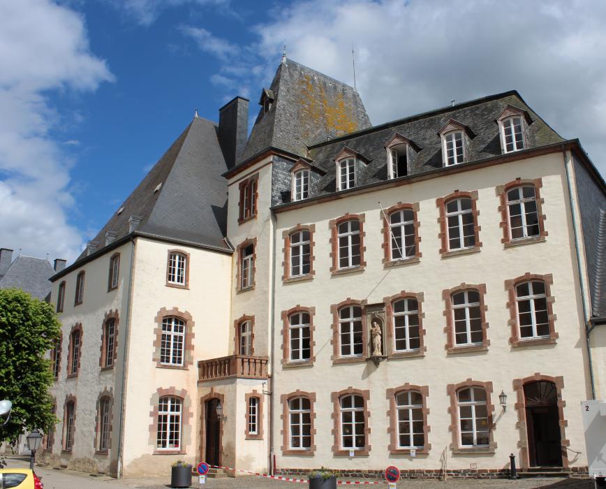
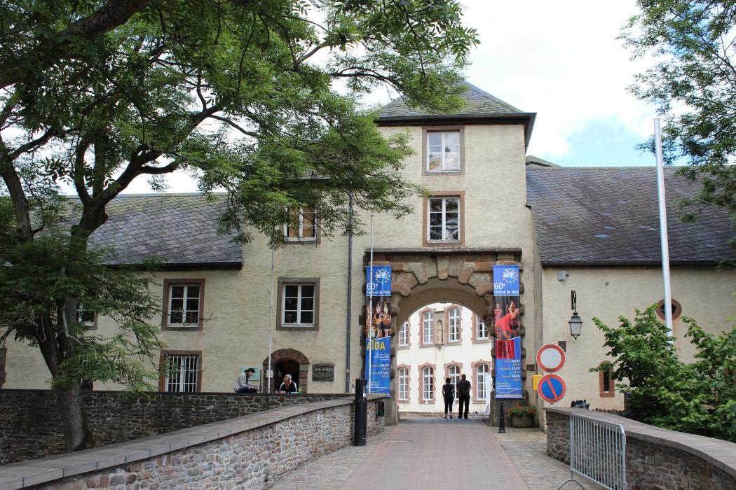
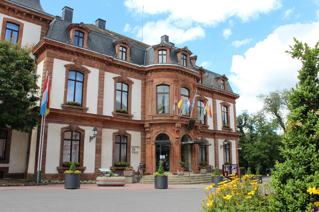
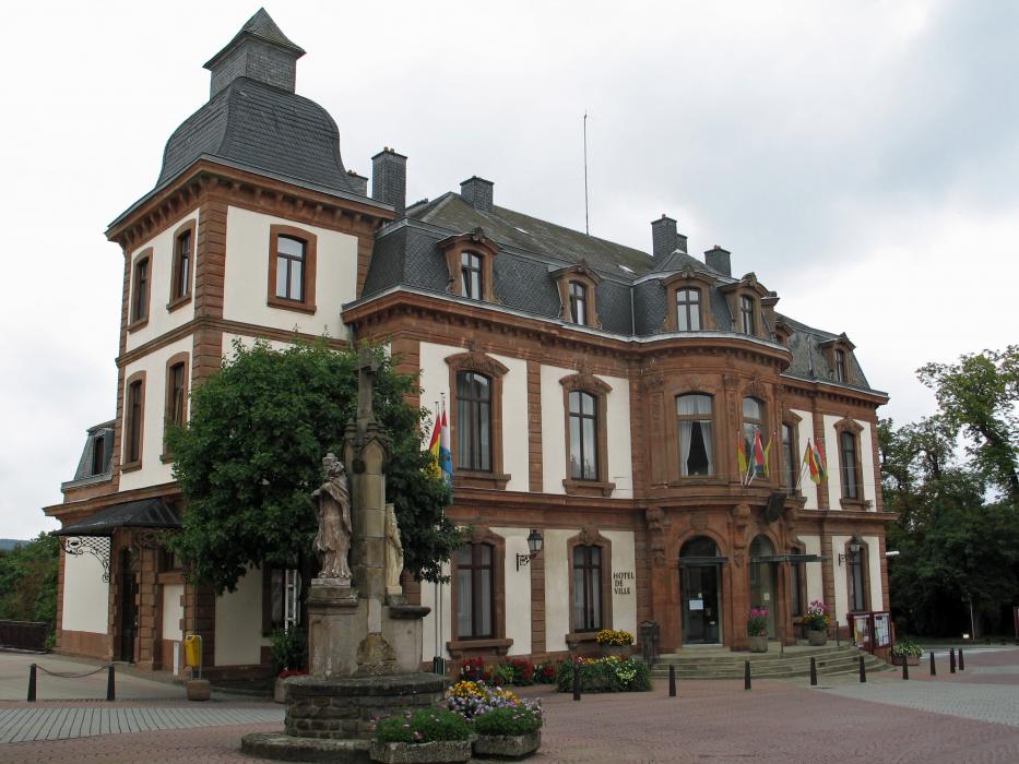


Map and nearest places
| Longitude | Latitude |
|---|---|
| 49.966667 | 5.933333 |
| 49°58'0"N | 5°55'0"E |
| Nearest places | ||
|---|---|---|
 | Esch-sur-Sûre | 5.6km |
 | Clervaux | 11.7km |
 | Bastogne | 15.8km |
 | Ettelbruck | 17.6km |
 | Diekirch | 19.4km |
 | Vianden | 20.6km |
| Luxembourg International Airport | 42.8km | |
| Spa-La Sauveničre Airport | 57.4km | |
| Liege Airport | 82.3km | |
| Aérodrome de Charleville-Mézičres | 94.7km | |
| Frankfurt-Hahn Airport | 95.2km | |
| Maastricht Aachen Airport | 106.1km | |
| John Paul II International Airport | 988.2km | |
| Tuuta Airport | 19,306.9km | |
Accomodation
Restaurants
Breweries
Weblinks
Comments
You need to log in to add comment