


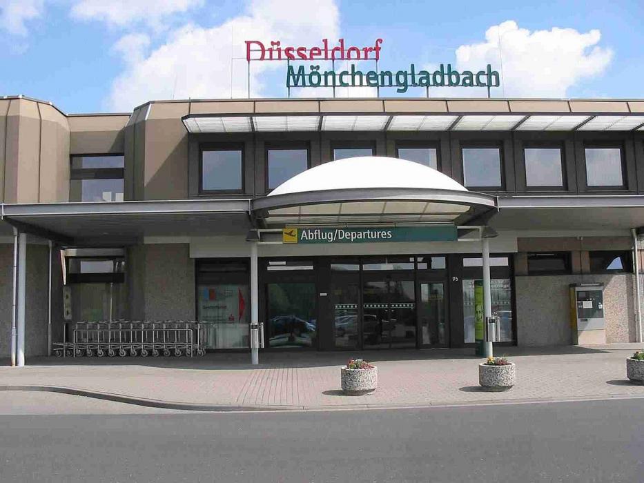
Gallery


Map and nearest places
| Longitude | Latitude |
|---|---|
| 51.23027777777779 | 6.50444444444444 |
| 51°13'0"N | 6°30'0"E |
| Nearest places | ||
|---|---|---|
 | Monchengladbach | 6.5km |
| Dusseldorf International Airport | 19.4km | |
 | Dusseldorf | 19.4km |
 | Erkelenz | 20.9km |
 | Venlo | 28.0km |
 | Duisburg | 29.0km |
 | Bergheim | 31.0km |
| Airport ESSEN MULHEIM | 35.8km | |
| Seppe Airport | 48.1km | |
| Weeze Airport | 48.4km | |
| Cologne/Bonn Konrad Adenauer Airport | 60.2km | |
| Maastricht Aachen Airport | 61.7km | |
| John Paul II International Airport | 943.6km | |
| Tuuta Airport | 19,160.7km | |
General informations
| Airport type | Regional airport |
| ICAO | EDLN |
| IATA | MGL |
| Elevation | 125 ft / 38 m MSL |
| World Pax Ranking 2022 | #1821(-92) |
| World Pax Ranking 2021 | #1729 |
| Year | Pax |
|---|---|
| 2022 | 33842 |
| 2021 | 38861 |
| 2007 | 31716 |
| 2006 | 31273 |
| 2005 | 36659 |
| 2004 | 41244 |
| 2003 | 192180 |
| 2002 | 114124 |
| 2001 | 195994 |
| 2000 | 182885 |
| 1999 | 226408 |
| 1998 | 261445 |
| 1997 | 224662 |
| 1996 | 146586 |
| 1995 | 59716 |
Weblinks
Comments
You need to log in to add comment