


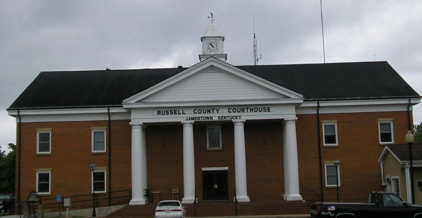
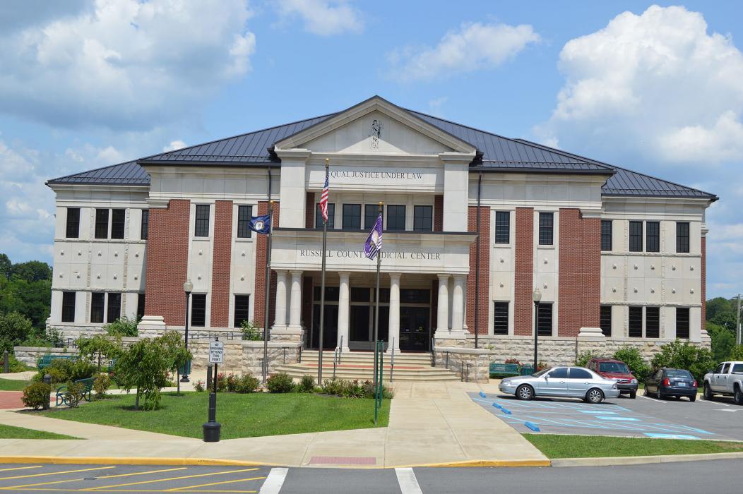
Gallery


Map and nearest places
| Longitude | Latitude |
|---|---|
| 36.984722 | -85.066944 |
| 36°59'0"N | 85°4'0"W |
| Nearest places | ||
|---|---|---|
| Russell County Airport | 4.2km | |
| Wayne County Airport | 23.6km | |
| Columbia | 24.8km | |
| Monticello | 25.3km | |
| Columbia-Adair County Airport | 27.3km | |
| Albany | 33.0km | |
| Lake Cumberland Regional Airport | 40.8km | |
| Somerset | 42.1km | |
| Taylor County Airport | 46.8km | |
 | Campbellsville | 47.1km |
| Jamestown | 62.9km | |
| Lebanon-Springfield Airport | 73.8km | |
| John Paul II International Airport | 7,865.1km | |
| Busselton Regional Airport | 18,127.2km | |
Airports
Weblinks
Comments
You need to log in to add comment