


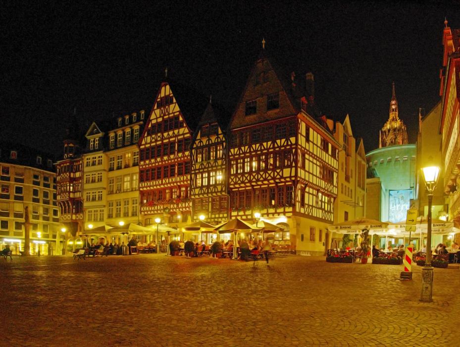
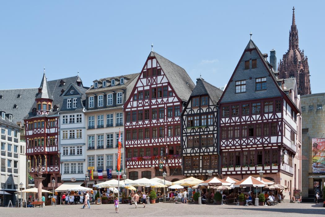
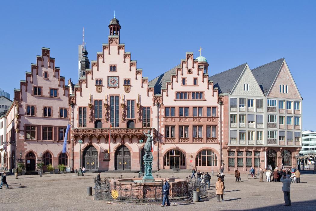
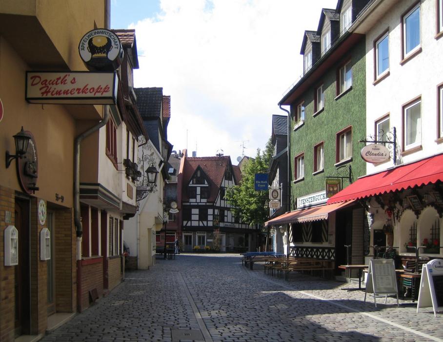
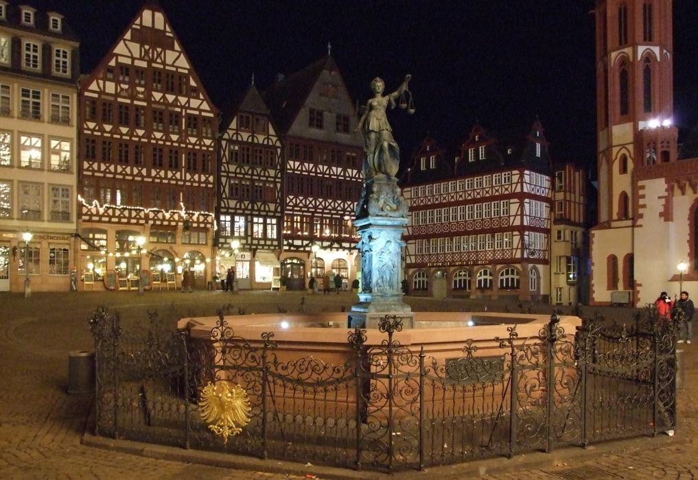
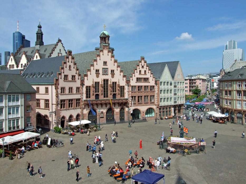
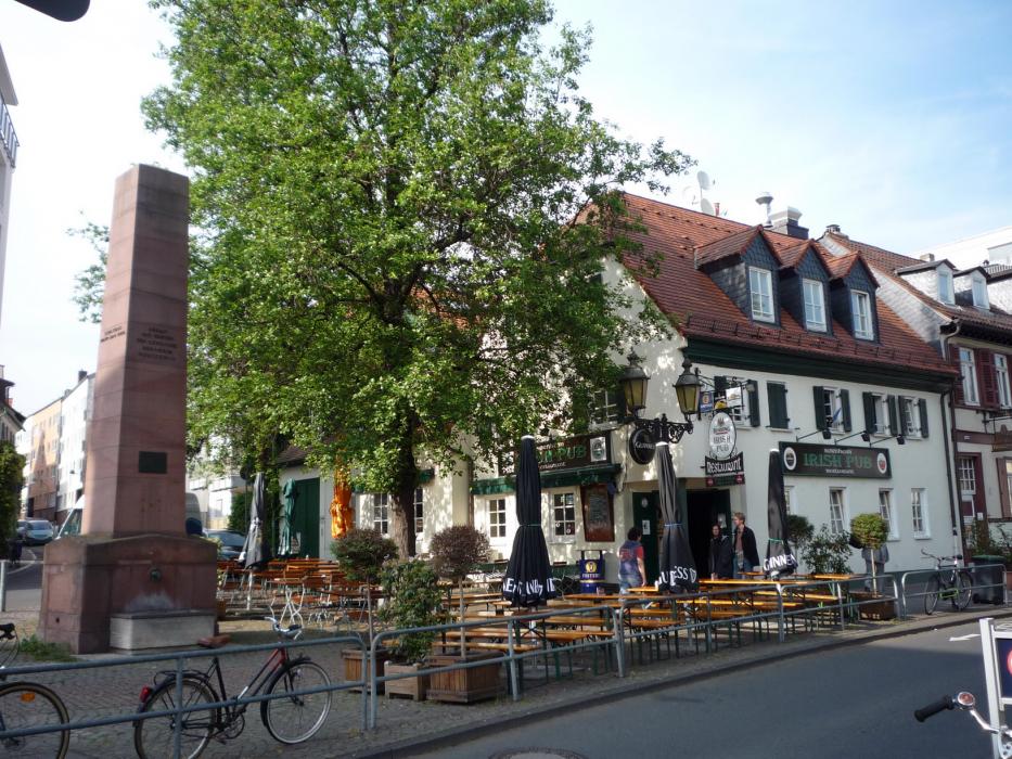
Gallery


Map and nearest places
| Longitude | Latitude |
|---|---|
| 50.116666666666696 | 8.68333333333333 |
| 50°7'0"N | 8°40'0"E |
| Nearest places | ||
|---|---|---|
 | Bad Vibel | 7.8km |
 | Obertshausen | 12.1km |
| Frankfurt Airport | 12.1km | |
 | Bad Homburg vor der Höhe | 13.8km |
 | Langen | 14.9km |
 | Egelsbach | 16.7km |
 | Hanau | 16.7km |
| Egelsbach Airport | 17.6km | |
| Mannheim City Airport | 72.6km | |
| Würzburg-Schenkenturm Airport | 93.0km | |
| Frankfurt-Hahn Airport | 103.1km | |
| Giebelstadt Airport | 105.7km | |
| John Paul II International Airport | 791.1km | |
| Tuuta Airport | 19,213.1km | |
Accomodation

Restaurants
Breweries
Airports

Weblinks
Comments
You need to log in to add comment