


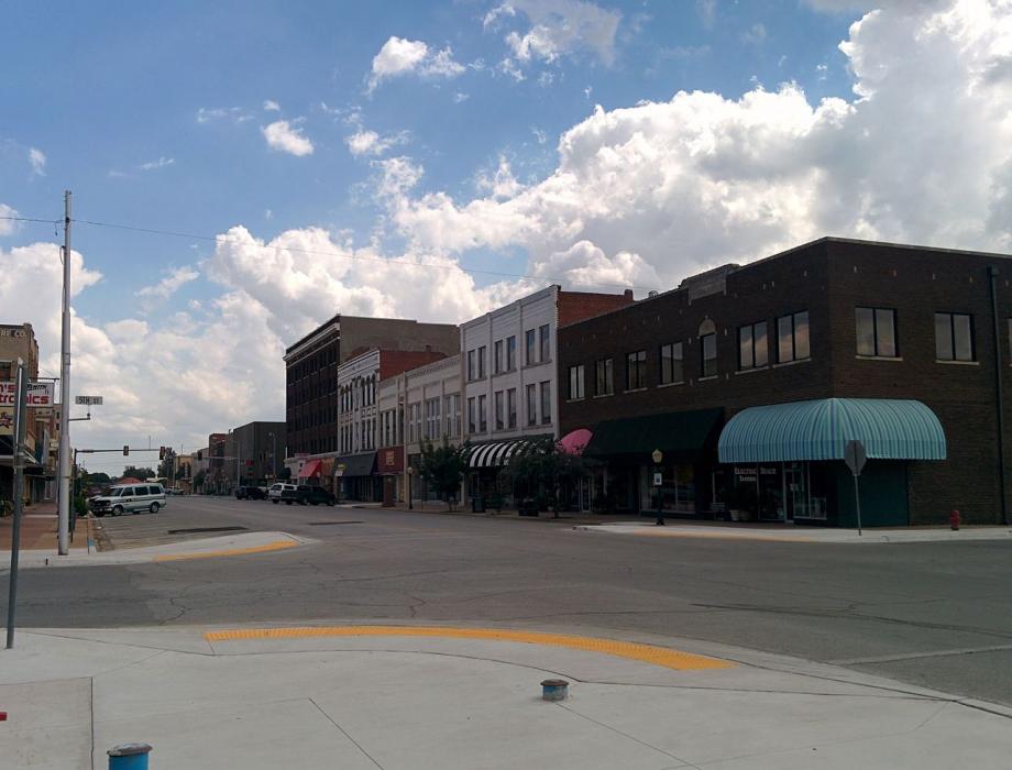
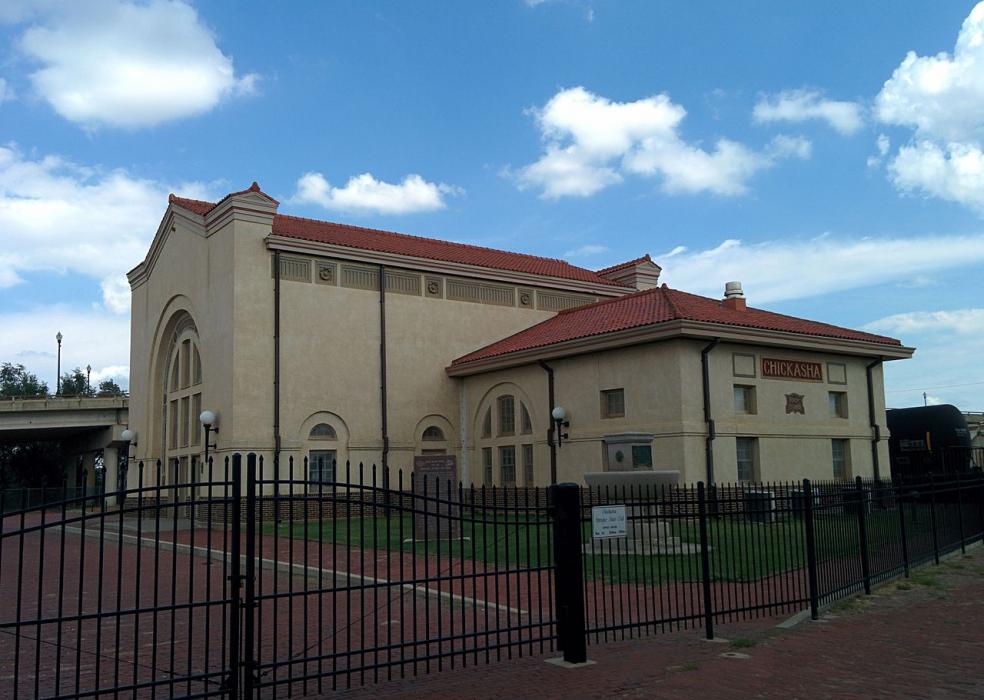
_1630474452_700.jpg)


Map and nearest places
| Longitude | Latitude |
|---|---|
| 35.038333 | -97.946111 |
| 35°2'0"N | 97°56'0"W |
| Nearest places | ||
|---|---|---|
| Chickasha Municipal Airport | 6.8km | |
| Lindsay | 38.1km | |
| Mustang | 44.3km | |
| University of Oklahoma Westheimer Airport | 48.3km | |
| El Reno Regional Airport | 48.6km | |
| Will Rogers World Airport | 50.4km | |
| Purcell Municipal - Steven E. Shephard Field | 51.7km | |
| Norman | 52.1km | |
| Purcell | 52.6km | |
| El Reno | 54.7km | |
| Duncan | 58.0km | |
| Wiley Post Airport | 61.5km | |
| John Paul II International Airport | 8,751.9km | |
| Sir Gaëtan Duval Airport | 17,515.2km | |
Accomodation
Restaurants
Airports
Weblinks
Comments
You need to log in to add comment