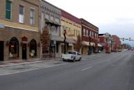
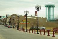
Gallery
Map and nearest places
| Longitude | Latitude |
|---|---|
| 35.6866666666667 | -85.7794444444444 |
| 35°41'0"N | 85°46'0"W |
| Nearest places | ||
|---|---|---|
| Warren County Memorial Airport | 6.0km | |
| Woodbury | 30.3km | |
| Sparta | 39.1km | |
| Upper Cumberland Regional Airport | 46.8km | |
| Dunlap | 49.4km | |
| Tullahoma | 52.8km | |
| Tullahoma Regional Airport | 54.3km | |
| Murfreesboro Municipal Airport | 58.0km | |
| Murfreesboro | 58.0km | |
| Cookeville | 58.6km | |
| Shelbyville Municipal Airport | 61.6km | |
| Winchester Municipal Airport | 62.3km | |
| John Paul II International Airport | 8,016.0km | |
| Busselton Regional Airport | 18,070.2km | |
Airports
Weblinks
Comments
You need to log in to add comment


