


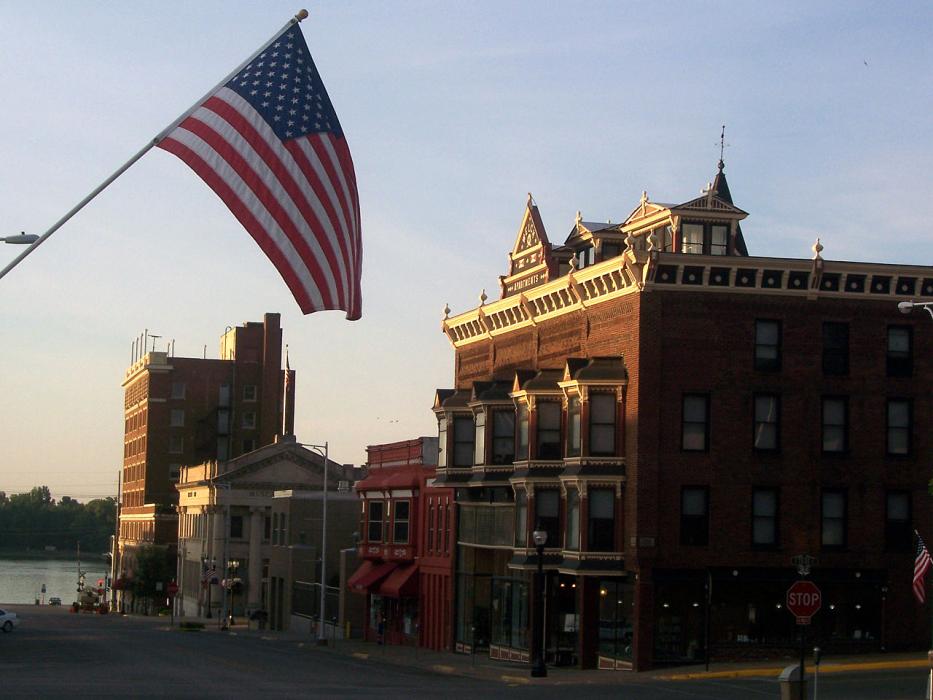
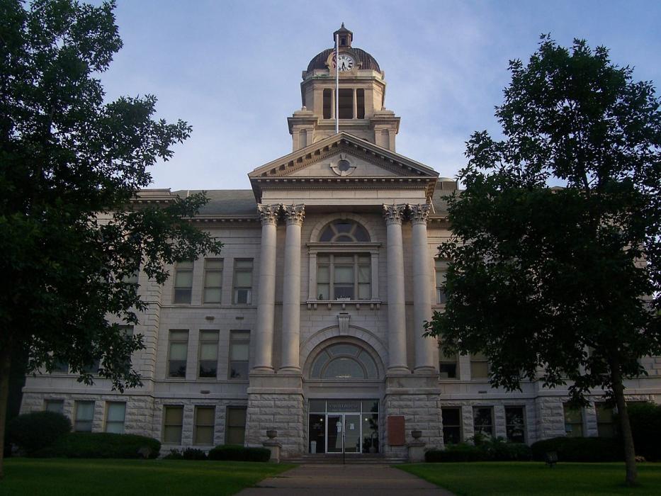
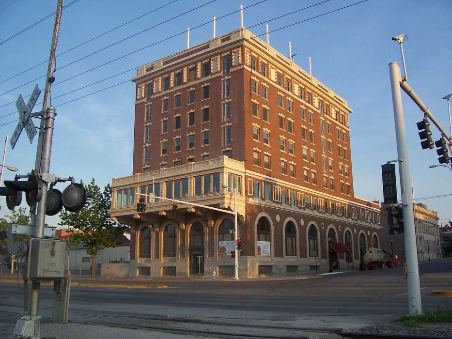


Map and nearest places
| Longitude | Latitude |
|---|---|
| 41.423889 | -91.056111 |
| 41°25'0"N | 91°3'0"W |
| Nearest places | ||
|---|---|---|
| Rusk County Airport | 9.3km | |
| Muscatine Municipal Airport | 9.9km | |
| Davenport Municipal Airport | 40.5km | |
| Davenport | 41.0km | |
| Quad City International Airport | 45.8km | |
| Iowa City | 46.8km | |
| Moline | 46.9km | |
| Iowa City Municipal Airport | 47.3km | |
| Coralville | 53.0km | |
| Kalona | 54.6km | |
| LeClaire | 61.3km | |
| Mount Pleasant Municipal Airport | 65.3km | |
| John Paul II International Airport | 7,823.0km | |
| Busselton Regional Airport | 17,541.9km | |
Accomodation
Restaurants
Golfs club
Breweries
Airports
Weblinks
Comments
You need to log in to add comment