


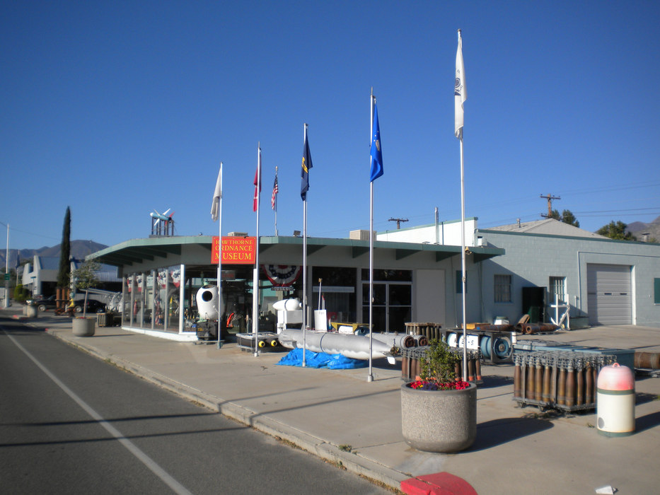
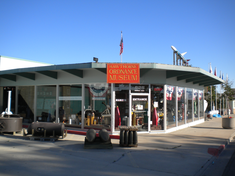
Gallery


Map and nearest places
| Longitude | Latitude |
|---|---|
| 38.525277777777795 | -118.623055555556 |
| 38°31'0"N | 118°37'0"W |
| Nearest places | ||
|---|---|---|
| Hawthorne Industrial Airport | 2.3km | |
| Yerington | 69.5km | |
| Yerington Municipal Airport | 70.6km | |
| Gabbs | 71.4km | |
| June Lake | 91.9km | |
| Gabbs Airport | 97.2km | |
| Mammoth Yosemite Airport | 102.0km | |
 | Mammoth Lake | 102.2km |
| Fallon | 106.2km | |
| Silver Springs | 107.3km | |
| Fallon Municipal Airport | 108.8km | |
| Minden-Tahoe Airport | 111.2km | |
| John Paul II International Airport | 9,355.3km | |
| Pierrefonds Airport | 18,019.0km | |
Airports
Weblinks
Comments
You need to log in to add comment