


_1916259423_700.jpg)
_300859638_700.jpg)


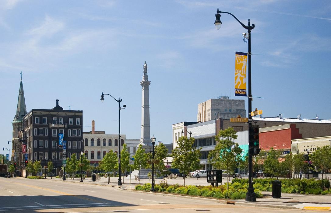
Map and nearest places
| Longitude | Latitude |
|---|---|
| 42.726111 | -87.805833 |
| 42°43'0"N | 87°48'0"W |
| Nearest places | ||
|---|---|---|
| John H Batten Airport | 3.9km | |
| Kenosha | 16.3km | |
| Kenosha Regional Airport | 17.6km | |
| General Mitchell International Airport | 25.7km | |
| Waukegan Regional Airport | 34.2km | |
 | Milwaukee | 37.9km |
| Burlington | 39.0km | |
| Waukegan | 39.6km | |
| Burlington Municipal Airport | 41.0km | |
| Gurnee | 41.3km | |
| Lawrence J. Timmerman Airport | 46.6km | |
| Waukesha | 47.0km | |
| John Paul II International Airport | 7,538.8km | |
| Busselton Regional Airport | 17,762.9km | |
Accomodation
Restaurants
Museums
Marinas
Golfs club
Breweries
Airports
Weblinks
Comments
You need to log in to add comment