


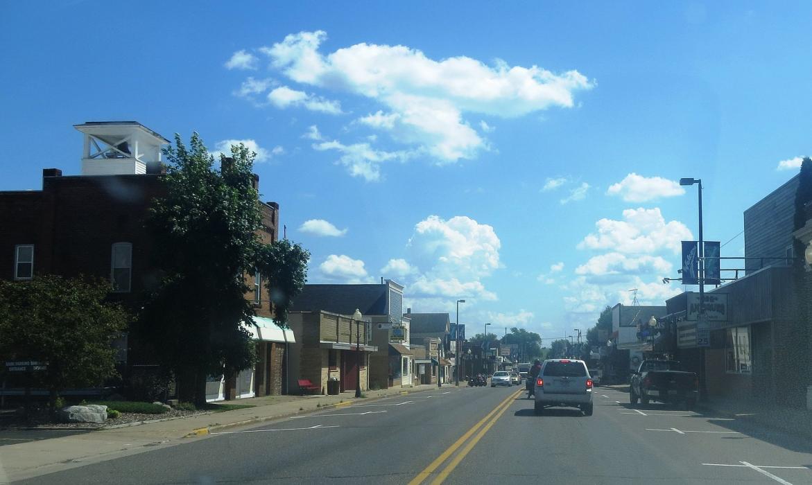
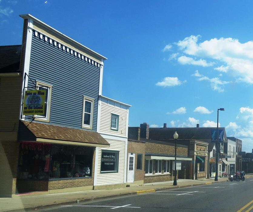
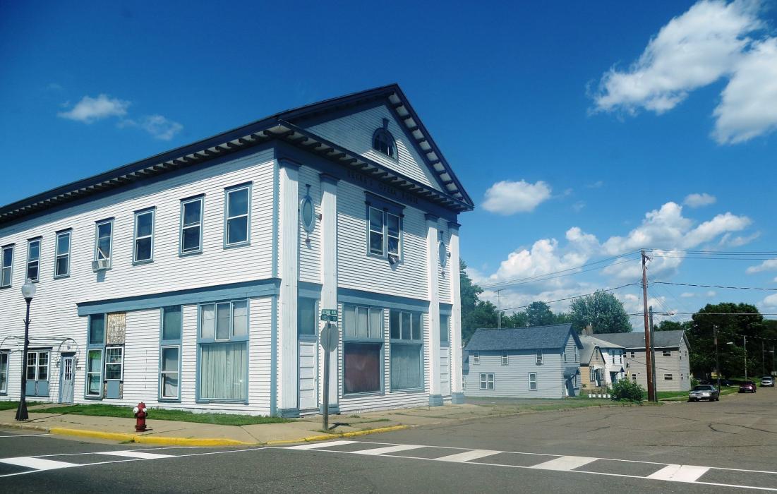


Map and nearest places
| Longitude | Latitude |
|---|---|
| 45.535833 | -92.023333 |
| 45°32'0"N | 92°1'0"W |
| Nearest places | ||
|---|---|---|
| Cumberland Municipal Airport | 4.7km | |
| Rice Lake | 22.6km | |
| Shell Lake Municipal Airport | 23.2km | |
| Rice Lake Regional Airport | 23.4km | |
| Shell Lake | 23.5km | |
| Amery | 36.5km | |
| Siren | 37.0km | |
| Chetek | 37.6km | |
| Amery Municipal Airport | 39.5km | |
| Chetek Municipal-Southworth Airport | 39.6km | |
| Burnett County Airport | 41.9km | |
| St. Croix Falls | 49.9km | |
| John Paul II International Airport | 7,521.8km | |
| Busselton Regional Airport | 17,341.7km | |
Accomodation
Restaurants
Airports
Weblinks
Comments
You need to log in to add comment