


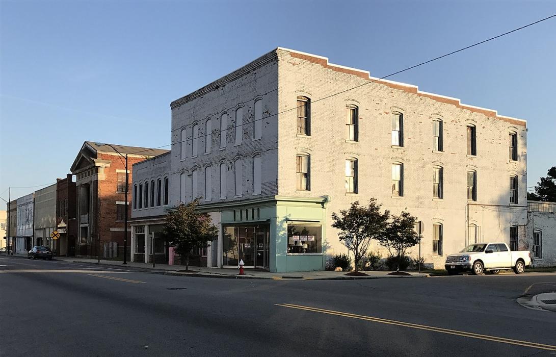
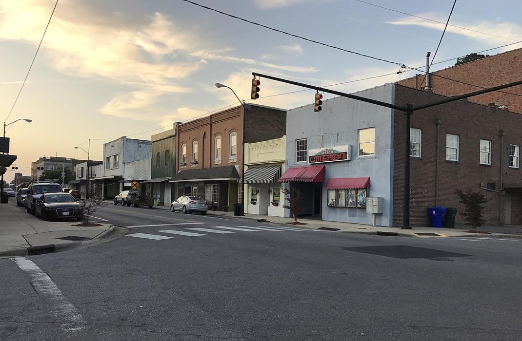
Gallery


Map and nearest places
| Longitude | Latitude |
|---|---|
| 36.286389 | -76.986389 |
| 36°17'0"N | 76°59'0"W |
| Nearest places | ||
|---|---|---|
| Tri-County Airport | 16.6km | |
| Edenton | 42.3km | |
 | Franklin | 43.5km |
| Franklin Municipal-John Beverly Rose Airport | 46.4km | |
| Northeastern Regional Airport | 47.4km | |
| Williamston | 48.9km | |
| Martin County Airport | 50.2km | |
| Plymouth | 52.1km | |
| Suffolk Executive Airport | 55.8km | |
| Plymouth Municipal Airport | 56.9km | |
| Suffolk | 60.7km | |
| Roanoke Rapids | 62.7km | |
| John Paul II International Airport | 7,435.1km | |
| Busselton Regional Airport | 18,851.8km | |
Accomodation
Restaurants
Airports
Weblinks
Comments
You need to log in to add comment