


_2121213207_700.jpg)
_1416781154_700.jpg)
_1780680088_700.jpg)


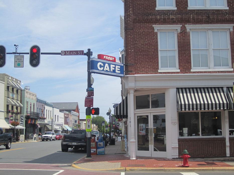
Map and nearest places
| Longitude | Latitude |
|---|---|
| 38.471944444444404 | -77.99916666666671 |
| 38°28'0"N | 77°59'0"W |
| Nearest places | ||
|---|---|---|
| Culpeper Regional Airport | 13.5km | |
| Orange County Airport | 25.3km | |
| Orange | 26.9km | |
| Warrenton-Fauquier Airport | 28.1km | |
| Sperryville | 28.5km | |
| Warrenton | 32.5km | |
| Gordonsville Municipal Airport | 38.0km | |
| Gordonsville | 40.9km | |
| Luray | 45.0km | |
| Stafford Regional Airport | 48.1km | |
| Linden | 48.9km | |
| Manassas Regional Airport | 50.4km | |
| John Paul II International Airport | 7,322.5km | |
| Busselton Regional Airport | 18,701.0km | |
Accomodation
Restaurants
Museums
Golfs club
Wineries
Spirits Distillery
Breweries
Airports
Weblinks
Comments
You need to log in to add comment