


_447539276_700.jpg)
_1749368698_700.jpg)


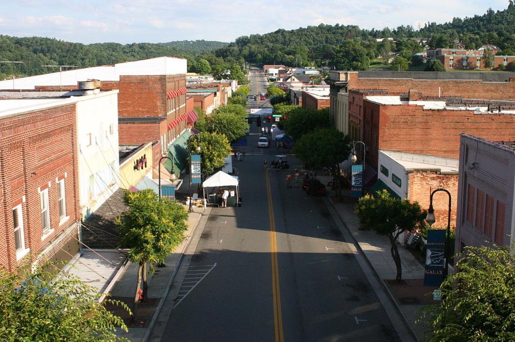
Map and nearest places
| Longitude | Latitude |
|---|---|
| 36.664722 | -80.920278 |
| 36°39'0"N | 80°55'0"W |
| Nearest places | ||
|---|---|---|
| Twin County Airport | 14.2km | |
| Mount Airy | 33.2km | |
| Wytheville | 34.8km | |
| Dobson | 35.2km | |
| Mount Airy/Surry County Airport | 39.9km | |
| Rural Retreat | 40.6km | |
| Elkin Municipal Airport | 44.4km | |
| Elkin | 45.7km | |
| Mountain Empire Airport | 46.0km | |
| Ashe County Airport | 51.5km | |
| Boonville | 51.6km | |
| Wilkes County Airport | 51.7km | |
| John Paul II International Airport | 7,645.4km | |
| Busselton Regional Airport | 18,497.9km | |
Airports
Weblinks
Comments
You need to log in to add comment