


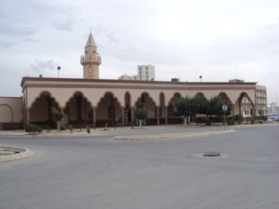
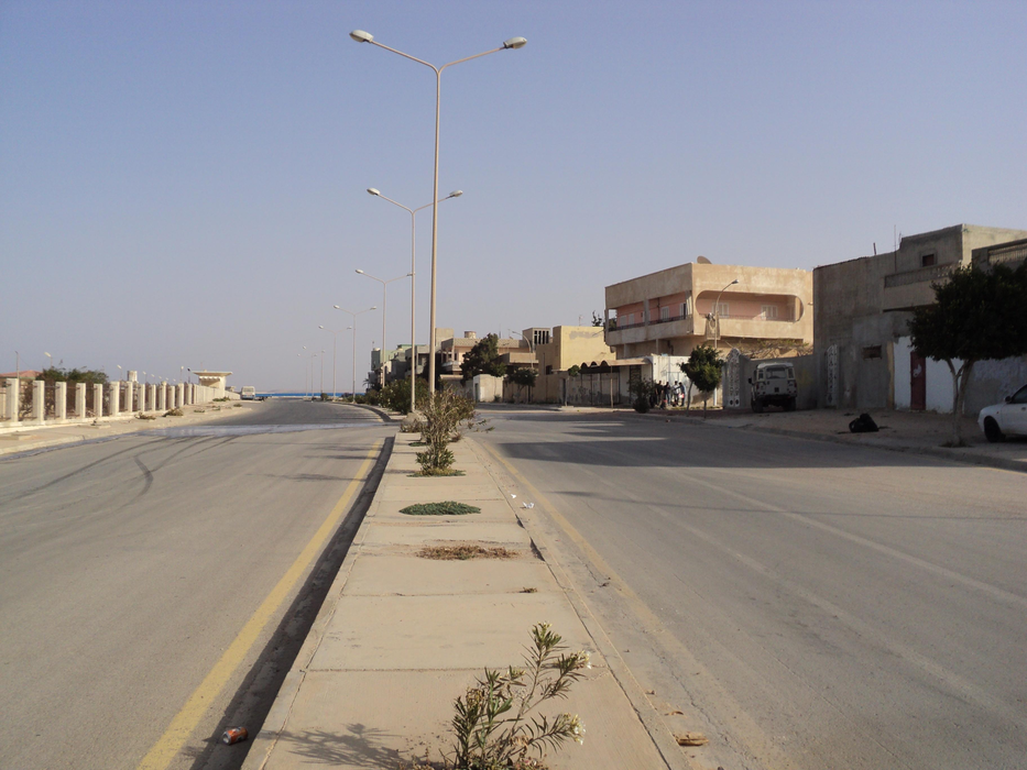
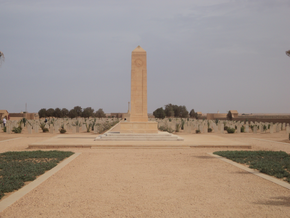


Map and nearest places
| Longitude | Latitude |
|---|---|
| 32.076111 | 23.961389 |
| 32°4'0"N | 23°57'0"E |
| Nearest places | ||
|---|---|---|
| Gamal Abdel Nasser Airport | 24.6km | |
| La Braq Airport | 203.5km | |
| Beida | 222.0km | |
| Gavdos Island | 306.8km | |
| Mersa Matruh Airport | 319.5km | |
| Mersa Matruh | 319.8km | |
| Agia Galini | 342.5km | |
| Loutro | 347.3km | |
| Plakias | 347.7km | |
| Benina International Airport | 347.8km | |
| Heraklion International Airport | 380.0km | |
| Chania International Airport K Daskalogiannis | 384.6km | |
| John Paul II International Airport | 2,031.3km | |
| Mangaia Island Airport | 18,868.1km | |
Airports
Weblinks
Comments
You need to log in to add comment