


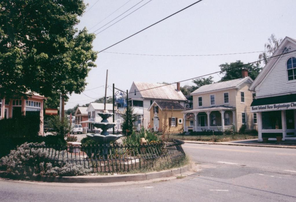
Gallery
_5_714768009_700.jpg)


Map and nearest places
| Longitude | Latitude |
|---|---|
| 38.981111 | -76.318889 |
| 38°58'0"N | 76°19'0"W |
| Nearest places | ||
|---|---|---|
| Bay Bridge Airport | 1.1km | |
 | Annapolis | 15.7km |
| Lee Airport | 22.0km | |
| St Michaels | 23.5km | |
| Easton Airport | 29.2km | |
| Easton | 31.7km | |
| Chestertown | 34.2km | |
| Baltimore-Washington International Airport | 37.1km | |
| Fort Meade | 39.0km | |
| Martin State Airport | 39.2km | |
| Freeway Airport | 39.5km | |
| Middle River | 40.6km | |
| John Paul II International Airport | 7,179.9km | |
| Busselton Regional Airport | 18,813.7km | |
Restaurants
Wineries
Spirits Distillery
Airports
Weblinks
Comments
You need to log in to add comment