


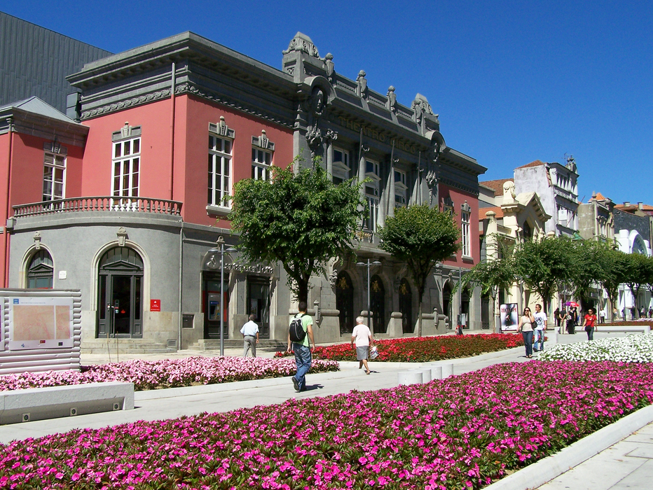
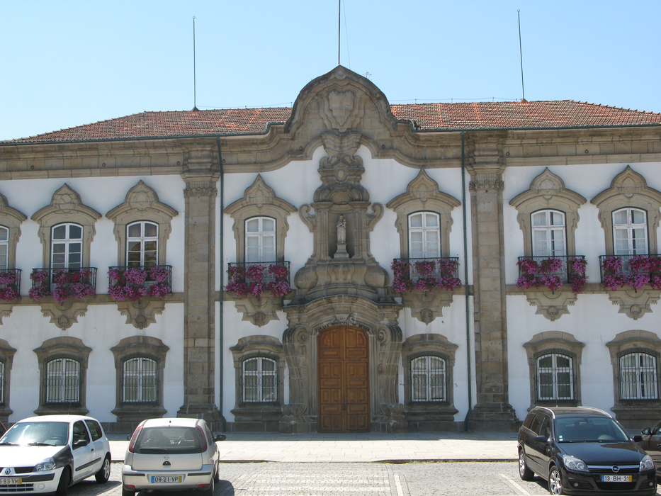
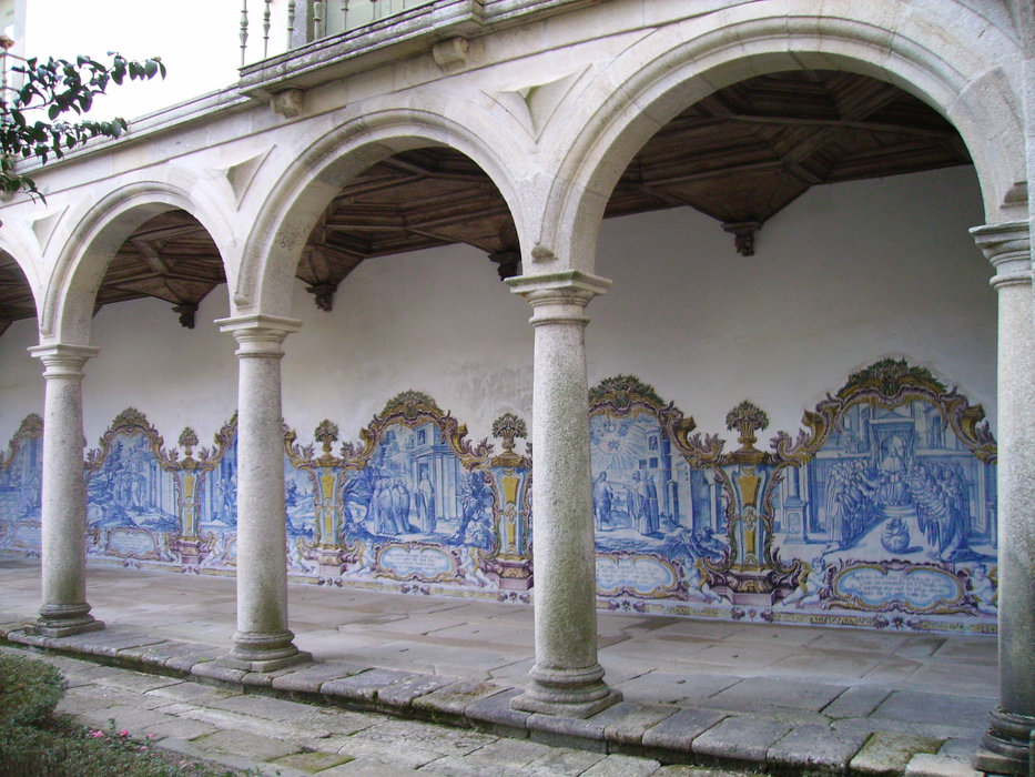
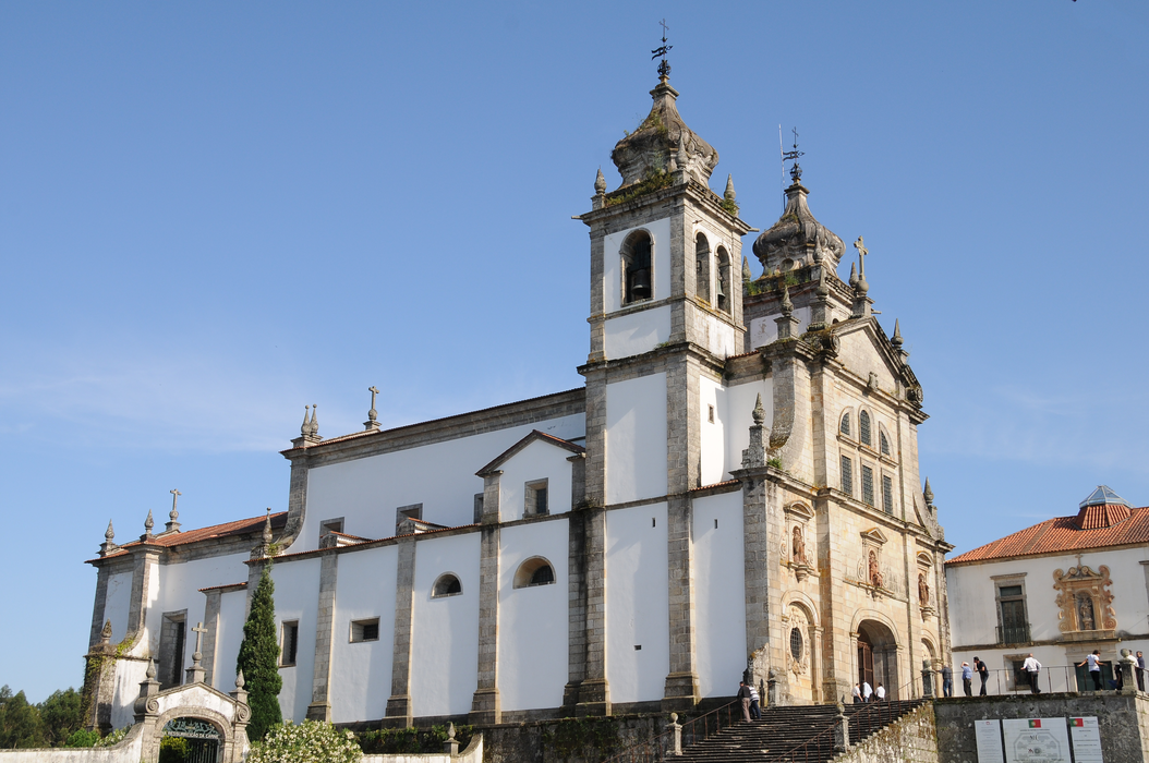
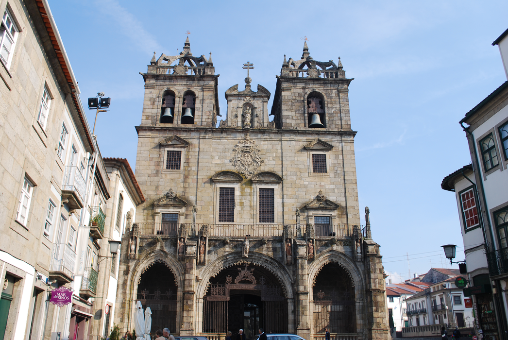
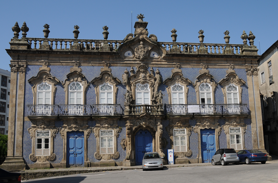
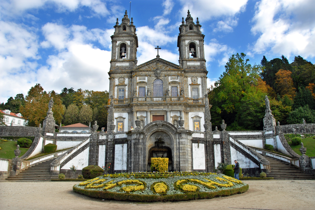
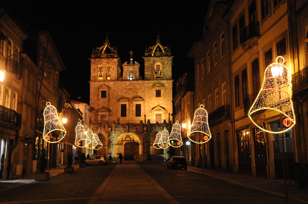
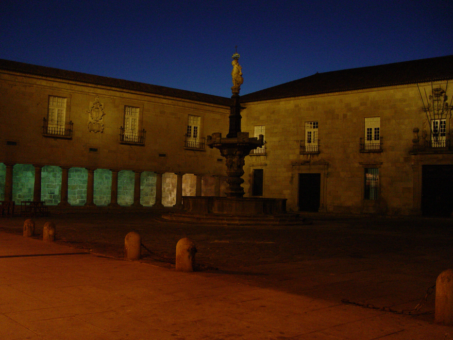
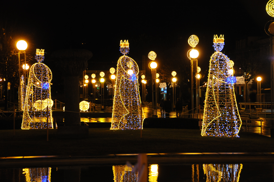
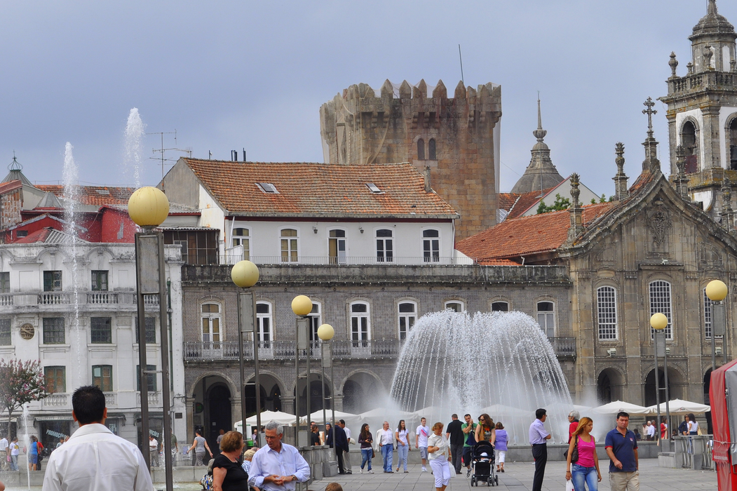
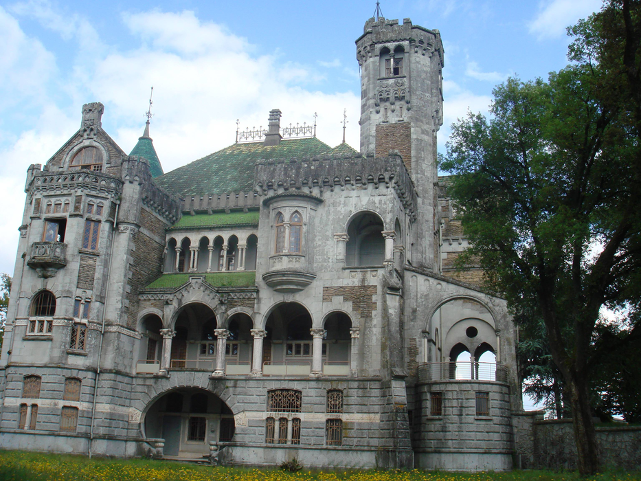
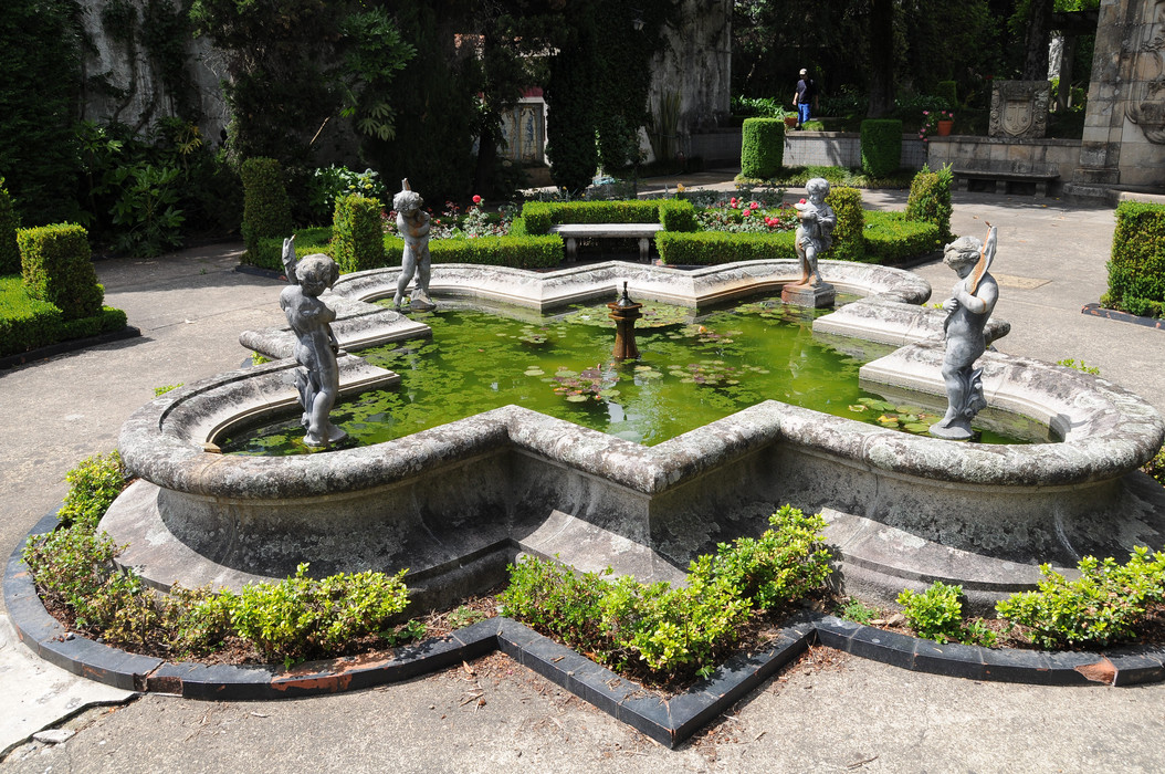
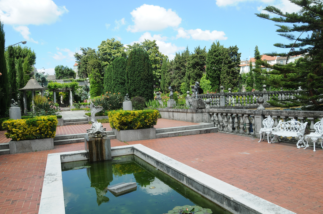
Gallery


Map and nearest places
| Longitude | Latitude |
|---|---|
| 41.549722222222194 | -8.42194444444444 |
| 41°32'0"N | 8°25'0"W |
| Nearest places | ||
|---|---|---|
| Braga Airport | 4.6km | |
 | Guimarães | 15.0km |
 | Barcelos | 16.6km |
 | Ponte de Lima | 27.0km |
 | Esposende | 30.1km |
| Dr. Francisco de Sa Carneiro Airport | 39.9km | |
 | Amarante | 42.3km |
| Porto | 48.6km | |
| Vila Real Airport | 66.0km | |
| Espinho Airport | 67.4km | |
| Vigo-Peinador Airport | 77.7km | |
| Chaves Airport | 81.9km | |
| John Paul II International Airport | 2,364.6km | |
| Westport Airport | 19,994.1km | |
Accomodation

Restaurants
Museums
Airports
Weblinks
Comments
You need to log in to add comment