


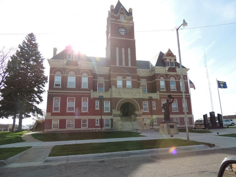
Gallery


Map and nearest places
| Longitude | Latitude |
|---|---|
| 39.392222 | -101.0475 |
| 39°23'0"N | 101°2'0"W |
| Nearest places | ||
|---|---|---|
| Colby Municipal Airport | 3.9km | |
| Goodland Municipal Airport | 56.0km | |
| Goodland | 57.2km | |
| McCook | 97.3km | |
| McCook Regional Airport | 98.5km | |
| Hill City | 103.3km | |
| Hill City Municipal Airport | 104.5km | |
| Cambridge | 124.2km | |
| Cheyenne Wells Municipal Airport | 126.1km | |
| Wray | 126.3km | |
| Cambridge Municipal Airport | 126.7km | |
| Cheyenne Wells | 129.4km | |
| John Paul II International Airport | 8,512.5km | |
| Sir Gaëtan Duval Airport | 17,370.7km | |
Accomodation
Restaurants
Airports
Weblinks
Comments
On 04-18-2022 18:41 Jerzy said:
There are 233.19 miles from Colby to Wichita in southeast direction and 289 miles (465.10 kilometers) by car, following the I-70 route.
You need to log in to add comment
There are 233.19 miles from Colby to Wichita in southeast direction and 289 miles (465.10 kilometers) by car, following the I-70 route.
You need to log in to add comment