


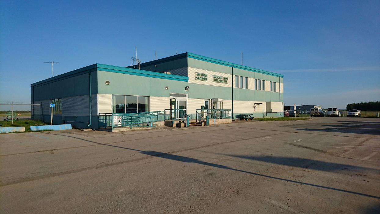
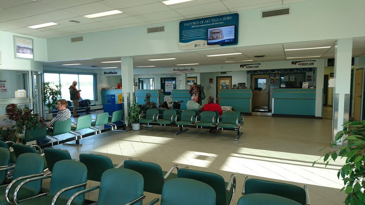
Gallery


Map and nearest places
| Longitude | Latitude |
|---|---|
| 60.8397222222222 | -115.782777777778 |
| 60°50'0"N | 115°46'0"W |
| Nearest places | ||
|---|---|---|
| Hay River | 0.8km | |
| Fort Resolution Airport | 119.0km | |
| Fort Resolution | 119.6km | |
 | Yellowknife | 192.6km |
| Yellowknife Airport | 193.9km | |
| Rae/Edzo Airport | 214.8km | |
| Behchoko | 218.7km | |
| Fort Smith Airport | 228.6km | |
| Fort Smith | 232.9km | |
| High Level Airport | 258.5km | |
| Whati Airport | 266.0km | |
| Whati | 267.8km | |
| John Paul II International Airport | 7,059.2km | |
| East London Airport | 15,967.2km | |
General informations
| Airport type | Local airport |
| ICAO | CYHY |
| IATA | YHY |
| Elevation | 541 ft / 165 m MSL |
| World Pax Ranking 2023 | #1568(+200) |
| World Pax Ranking 2022 | #1768(+92) |
| World Pax Ranking 2021 | #1860(-127) |
| World Pax Ranking 2020 | #1733 |
| World Pax Ranking 2017 | #1934(+32) |
| World Pax Ranking 2016 | #1966(+76) |
| World Pax Ranking 2015 | #2042 |
| World Pax Ranking 2010 | #2423 |
| Year | Pax |
|---|---|
| 2023 | 14122 |
| 2022 | 15658 |
| 2021 | 9294 |
| 2020 | 18420 |
| 2017 | 30568 |
| 2016 | 30516 |
| 2015 | 21707 |
| 2010 | 0 |
| 2009 | 0 |
| 2008 | 0 |
| 2007 | 0 |
| 2006 | 0 |
| 2005 | 0 |
| 2004 | 27810 |
| 2003 | 27000 |
| 1997 | 25448 |
| 1996 | 25012 |
| 1995 | 24860 |
Weblinks
Comments
You need to log in to add comment