


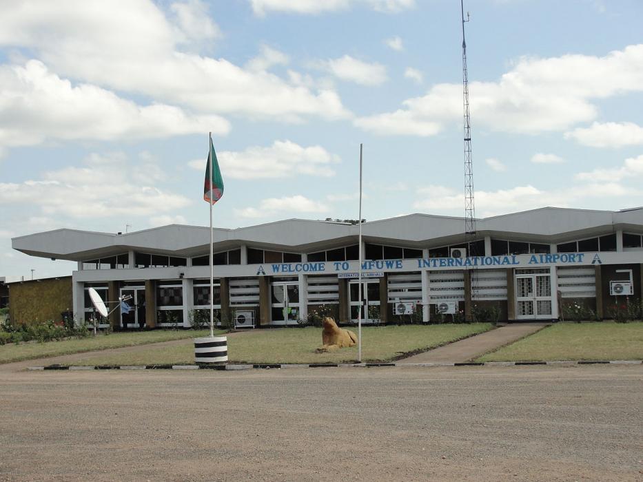
Gallery


Map and nearest places
| Longitude | Latitude |
|---|---|
| -13.2588888888889 | 31.9366666666667 |
| 13°15'0"S | 31°56'0"E |
| Nearest places | ||
|---|---|---|
| Mfuwe | 40.2km | |
| Chipata Airport | 78.0km | |
| Chipata | 87.0km | |
| Kasungu Airport | 168.1km | |
| Kasungu | 169.3km | |
| Kumuzu International Airport | 207.7km | |
| Lilongwe | 215.2km | |
| Dwangwa Airport | 251.8km | |
| Mzuzu | 301.8km | |
| Mzuzu Airport | 302.5km | |
| Ndola Airport | 355.5km | |
| Lichinga | 357.6km | |
| John Paul II International Airport | 7,142.1km | |
| Hilo International Airport | 18,980.6km | |
General informations
| ICAO | FLMF |
| IATA | MFU |
| Elevation | 1,853 ft / 565 m MSL |
| World Pax Ranking 2013 | #1992(-52) |
| World Pax Ranking 2012 | #1940(-68) |
| World Pax Ranking 2011 | #1872 |
| Year | Pax |
|---|---|
| 2013 | 26654 |
| 2012 | 25406 |
| 2011 | 22642 |
| 2009 | 21270 |
| 2008 | 28480 |
| 2007 | 24333 |
| 2006 | 22235 |
| 2005 | 22703 |
| 2004 | 19857 |
| 2003 | 14583 |
| 2002 | 11125 |
| 2001 | 11341 |
| 2000 | 11540 |
| 1999 | 10902 |
| 1998 | 9938 |
| 1997 | 5356 |
| 1996 | 9380 |
| 1995 | 5594 |
| 1994 | 12290 |
| 1993 | 13281 |
| 1992 | 17827 |
| 1991 | 17881 |
| 1990 | 19278 |
Weblinks
Comments
You need to log in to add comment