


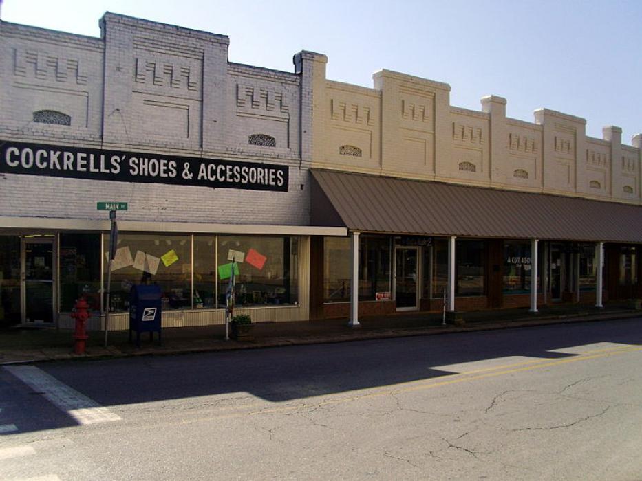
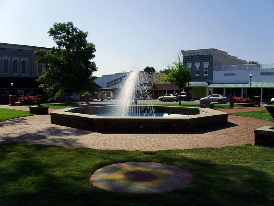
Gallery


Map and nearest places
| Longitude | Latitude |
|---|---|
| 33.6272222222222 | -91.7938888888889 |
| 33°37'0"N | 91°47'0"W |
| Nearest places | ||
|---|---|---|
| Monticello Municipal Airport | 4.2km | |
| Z M Jack Stell Field Airport | 50.6km | |
| Lake Village Municipal Airport | 54.2km | |
| Lake Village | 56.6km | |
| Crossett | 58.0km | |
| Grider Field Airport | 62.2km | |
| Pine Bluff | 68.9km | |
| Greenville | 73.6km | |
| Mid Delta Regional Airport | 76.6km | |
| Harrell Field Airport | 89.8km | |
| El Dorado | 92.8km | |
| Almyra | 93.5km | |
| John Paul II International Airport | 8,540.9km | |
| Busselton Regional Airport | 17,506.0km | |
Airports
Weblinks
Comments
You need to log in to add comment