


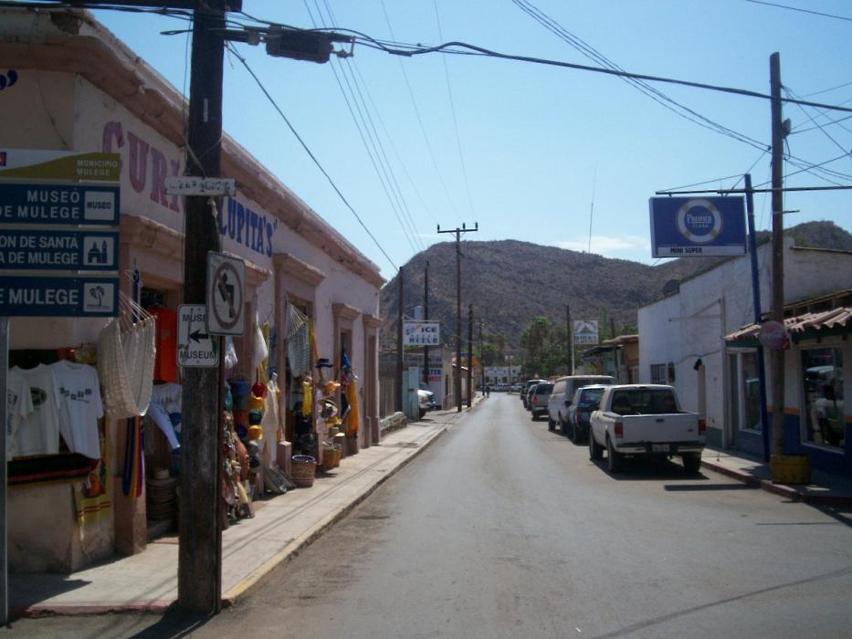
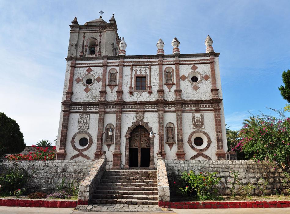
Gallery


Map and nearest places
| Longitude | Latitude |
|---|---|
| 26.8916666666667 | -111.980833333333 |
| 26°53'0"N | 111°58'0"W |
| Nearest places | ||
|---|---|---|
| Mulege Airport | 2.1km | |
 | Loreto | 116.5km |
| Loreto International Airport | 118.5km | |
 | Guaymas | 156.3km |
| General Jose Maria Yinez International Airport | 158.8km | |
 | Ciudad Obregon | 213.0km |
| Ciudad Obregon International Airport | 219.7km | |
| Guerrero Negro | 236.7km | |
| Guerrero Negro Airport | 237.8km | |
| Hermosilio Airport | 261.7km | |
 | Hermosilio | 265.3km |
 | Los Mochis | 321.3km |
| John Paul II International Airport | 10,226.5km | |
| Sir Gaėtan Duval Airport | 19,090.4km | |
Airports
Weblinks
Comments
You need to log in to add comment