


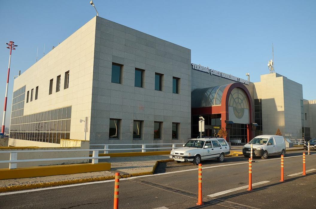
Gallery


Map and nearest places
| Longitude | Latitude |
|---|---|
| 41.1383333333333 | 27.9191666666667 |
| 41°8'0"N | 27°55'0"E |
| Nearest places | ||
|---|---|---|
| Tekirdag | 37.9km | |
| Istanbul Airport | 69.0km | |
| Ataturk International Airport | 77.2km | |
| Istambul | 89.7km | |
| Ahtopol | 107.0km | |
| Sabih Gokcen International Airport | 119.6km | |
| Orestiada | 122.5km | |
| Tsarevo | 126.6km | |
| Sozopol | 143.3km | |
| Burgas Airport | 162.6km | |
| Canakkale Airport | 168.0km | |
| Alexandroupolis International Airport | 168.3km | |
| John Paul II International Airport | 1,176.8km | |
| Raivavae Airport | 18,053.0km | |
General informations
| ICAO | LTBU |
| IATA | TEQ |
| Elevation | 574 ft / 175 m MS |
| World Pax Ranking 2018 | #1689(-57) |
| World Pax Ranking 2017 | #1632(+40) |
| World Pax Ranking 2016 | #1672(-164) |
| World Pax Ranking 2015 | #1508(+88) |
| World Pax Ranking 2014 | #1596(+106) |
| World Pax Ranking 2013 | #1702(+226) |
| World Pax Ranking 2012 | #1928(-224) |
| World Pax Ranking 2011 | #1704(-200) |
| World Pax Ranking 2010 | #1504(+155) |
| Year | Pax |
|---|---|
| 2018 | 108087 |
| 2017 | 104335 |
| 2016 | 97869 |
| 2015 | 150340 |
| 2014 | 122568 |
| 2013 | 77644 |
| 2012 | 26257 |
| 2011 | 43786 |
| 2010 | 74030 |
| 2009 | 39589 |
| 2008 | 6882 |
Weblinks
Comments
You need to log in to add comment